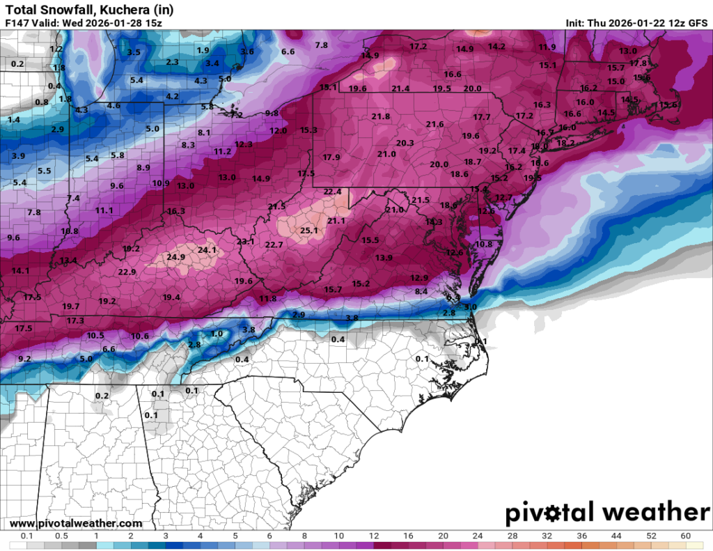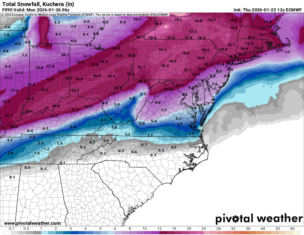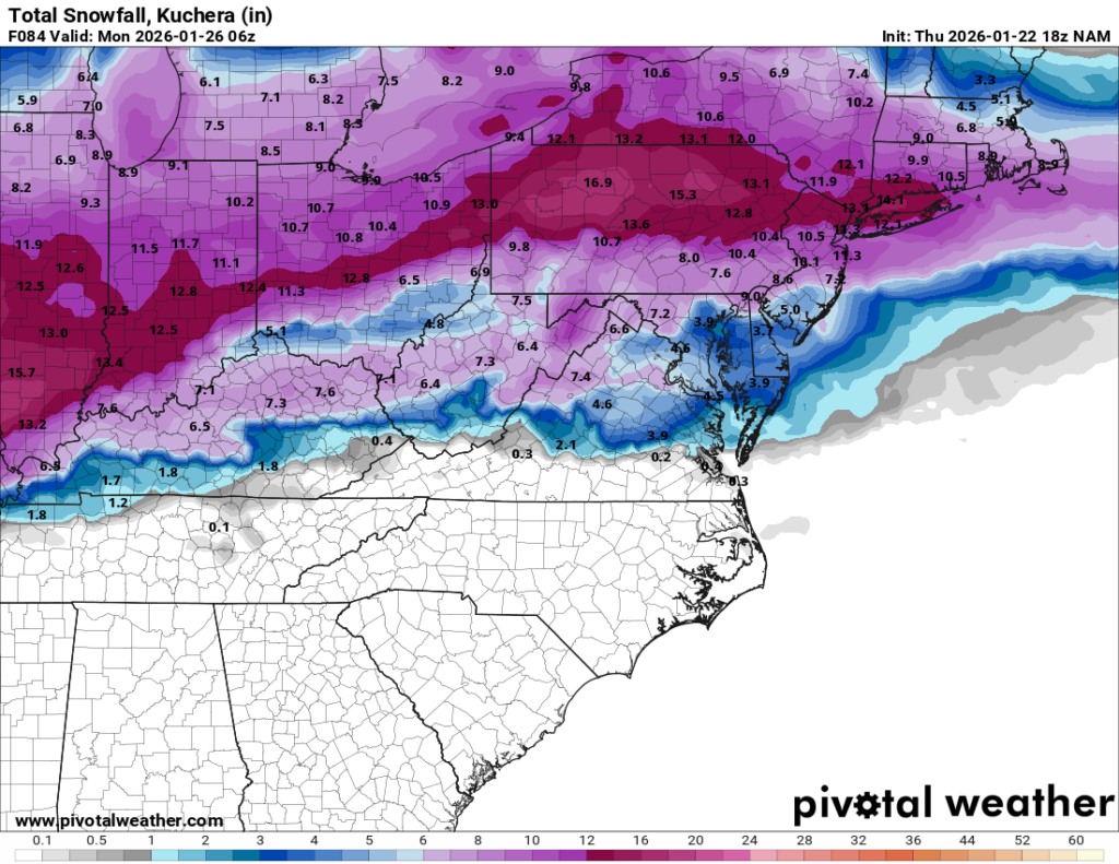
As of this evening, we are still on track for a significant snowfall to impact the whole region.
The snow looks to begin on Sunday morning, spreading from South to North by sunrise. At the start, temperatures will be VERY cold (teens), which is a key ingredient here. That cold air means we will see good snow growth and high ratios; in other words, this will likely be the fluffy kind of snow that accumulates quickly. The snow is expected to continue right through until early Monday.
One outstanding question with the storm is if and when the snow changes over to sleet. Some models are introducing sleet towards the end of the storm. If that mixing occurs, it will reduce the overall snowfall, likely holding totals to the 7–9 inch range. Other models keep the cold air locked in with snow throughout the entire event. These non-mixing solutions are maxing out as high as 18 inches.
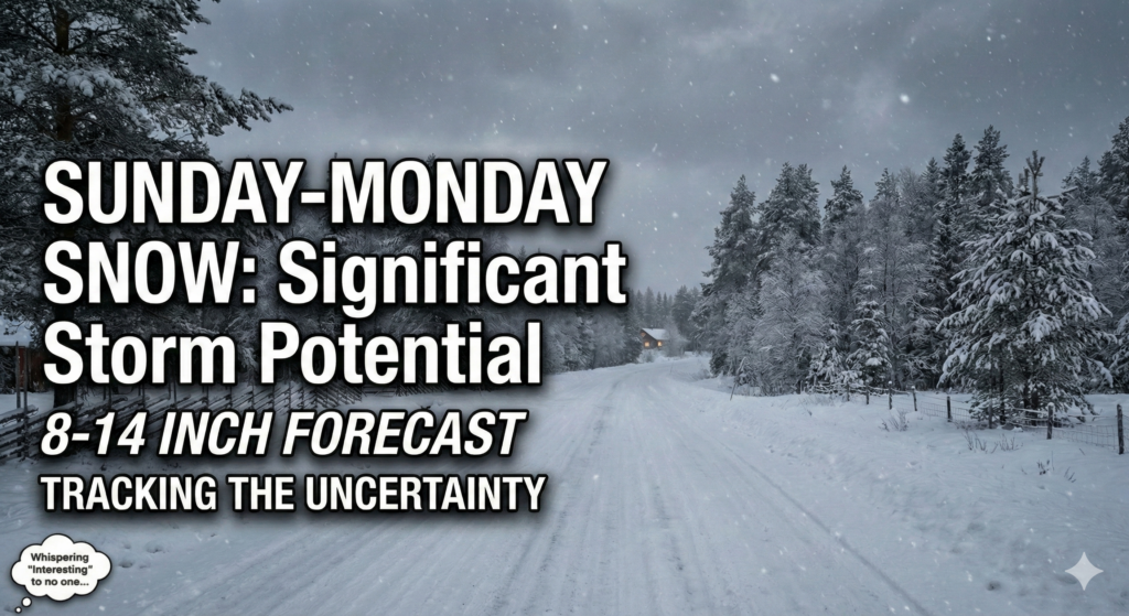
My Forecast Right now, my initial call is for a general 8–14 inches area-wide, with slightly higher amounts likely north of Long Island and the city.
We still need to work out if and when the snow mixes with sleet. That mixing line will have a direct impact on the final totals. But the bottom line remains: we are expecting a significant snowfall on Sunday into Monday morning