

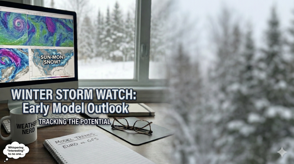
While it’s still a long way out in the weather world, the major models are starting to raise eyebrows for Sunday into Monday, showing the potential for a significant snowfall across the entire region.
It’s far too early to lock in specifics, but this is definitely a timeframe worth watching closely. The potential setup here gives this storm a very high ceiling. If some of the more aggressive solutions (looking at you, Euro) end up verifying, we could be talking well over a foot of snow by Monday.
As we get closer, I’ll start posting more detailed updates, including model trends and timing.
And yes, I’ve already started acting like my job is to refresh model runs and live and die by every run.