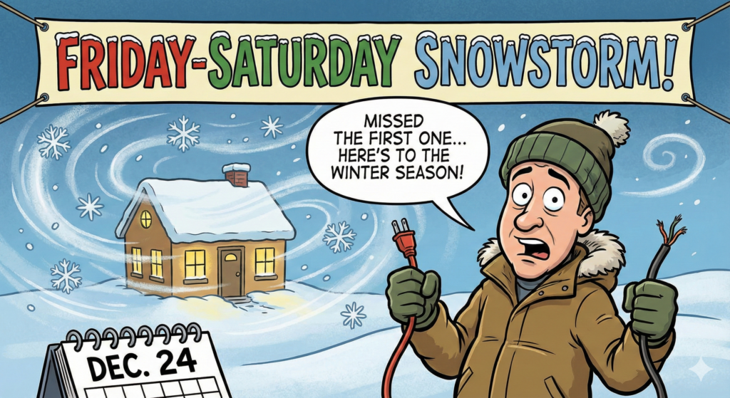
I’m back from a little summer hiatus (and yes, I managed to miss the first winter storm… because life has a habit of scheduling itself like a chaotic toddler).
Here’s what we’re working with: A winter weather event is expected Friday night into Saturday morning.
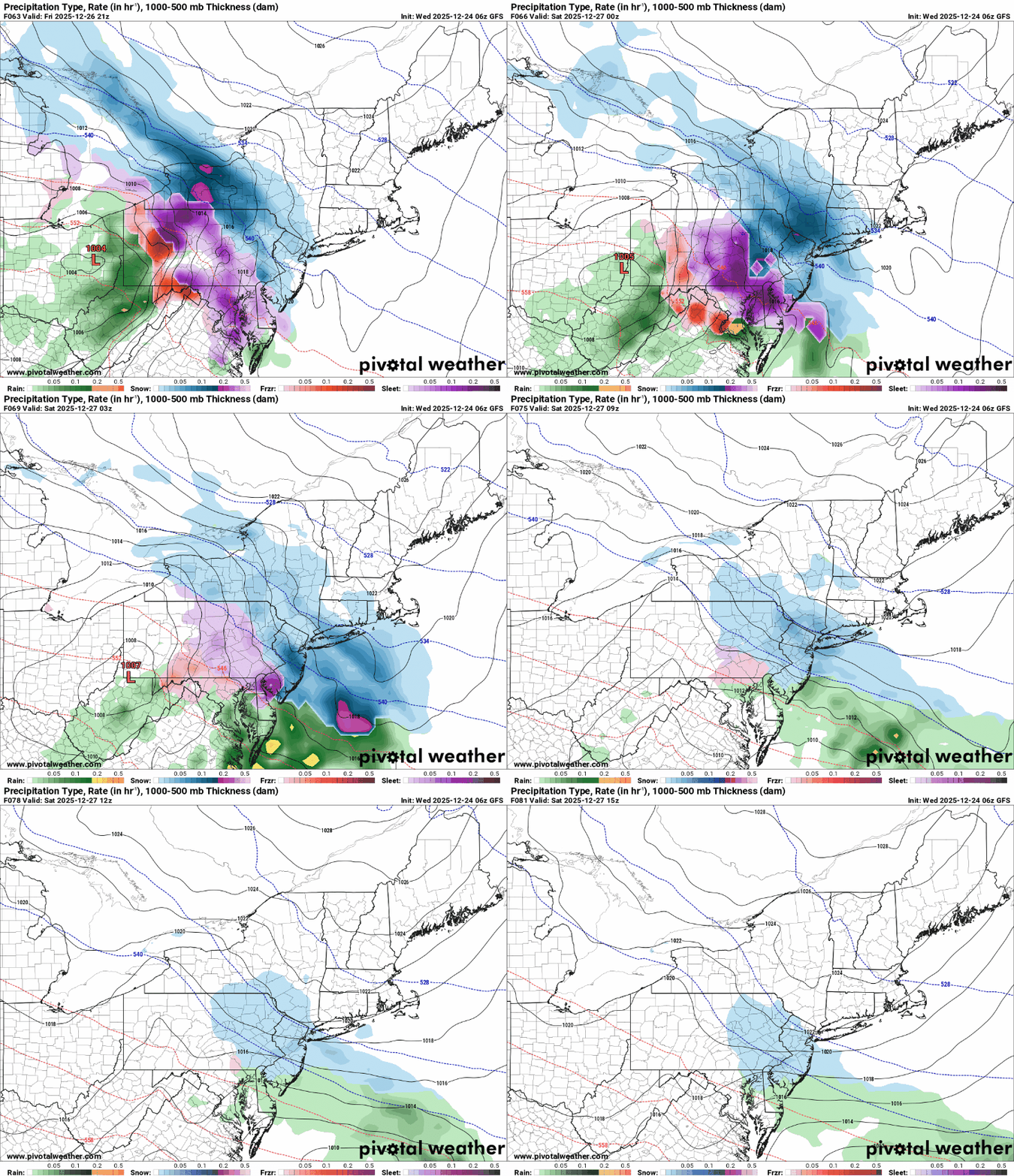
As of this morning, the major forecast models are on the same page that accumulating snow is likely, kicking off early Friday evening and continuing into Saturday morning.
Where they don’t agree (yet) is the total snowfall:
-
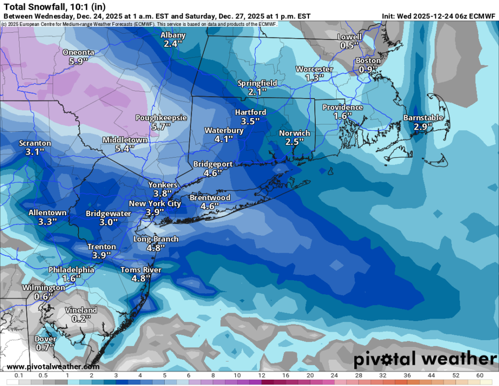
European model (Euro): roughly 3–4 inches area-wide
-
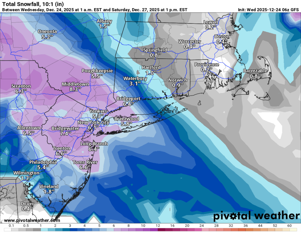
GFS (American model) + CMC (Canadian model): closer to around 7 inches area-wide
So yes, the snow is coming. The only argument left is whether it’s a “shovel a little” storm or a “shovel and pop an Advil” storm.
One other important ingredient: It’ll be more than cold enough for all snow. Temperatures should sit in the mid to upper 20s for most of the event. The air higher up in the atmosphere looks to be very cold, which matters because colder storms can produce fluffier snow that piles up faster. If it does end up colder as forecast, would mean more accumulation for the same amount of moisture (higher ratios). We’ll have a better read on that as we get closer to Friday.
I’ll post another update later today or this evening.
Merry Christmas to everyone who celebrates! 🎄❄️