Blog
-
Sunday Night Storm: Everyone Has Rain, Nobody Agrees on the Track
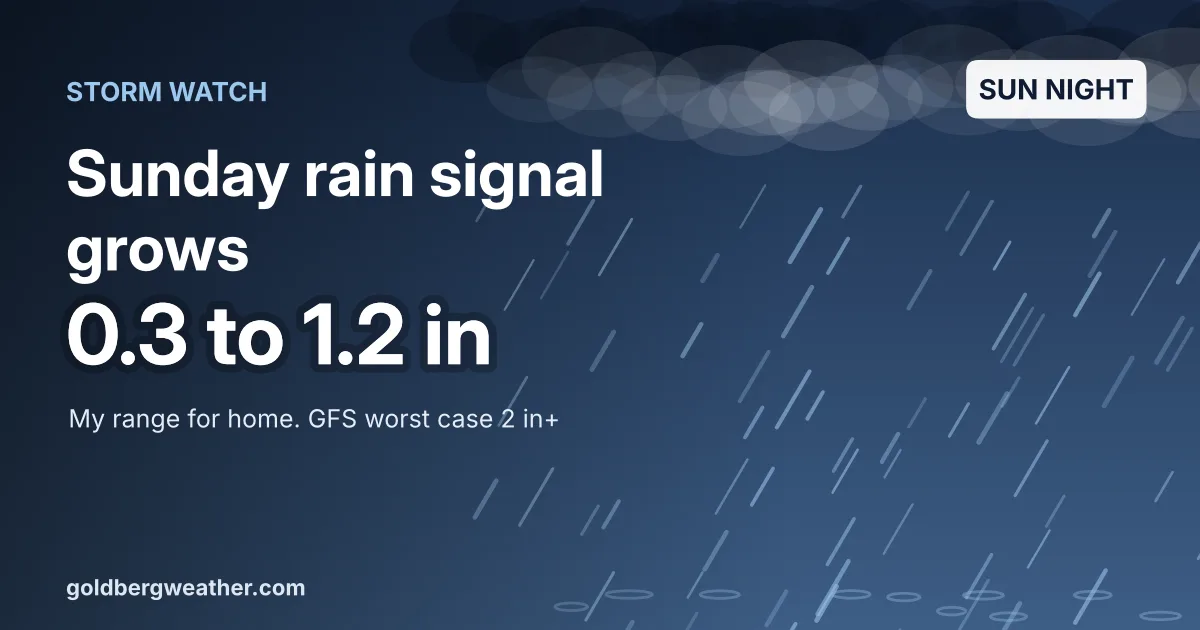
The Euro caved, so every model now brings a windswept soaking Sunday night into Monday. The track decides whether we get half an inch or two.
-
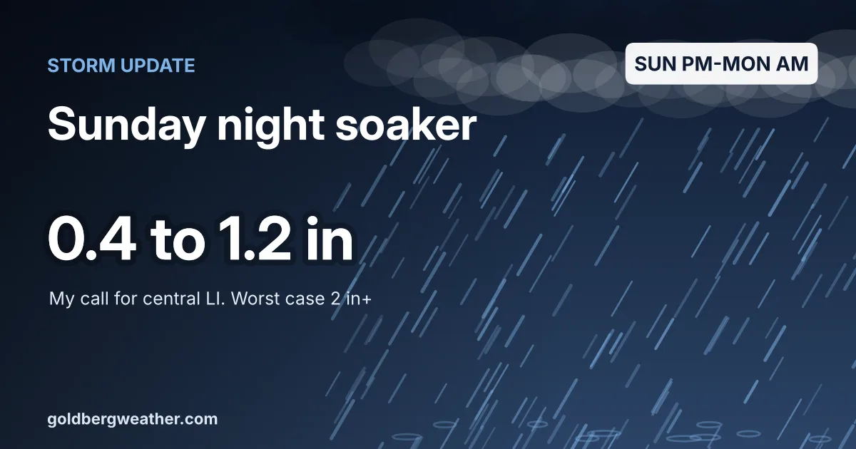
Sunday Night Coastal Low: The GFS Is Back, and the Euro Joined In
A coastal low could bring a soaking rain and gusty wind Sunday afternoon into Monday morning. The GFS and Canadian say 2 inches, the Euro now says up to an inch, and the track is still the whole story.
-
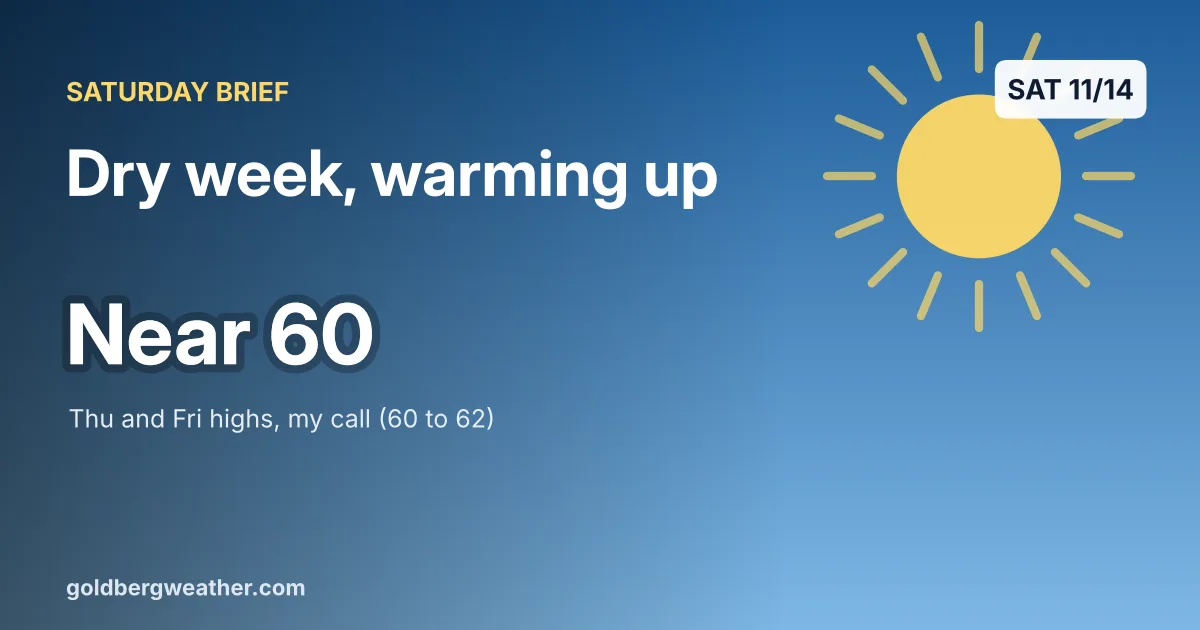
Saturday Brief: Blustery Today, Then a Dry Week That Warms to 60
A cold, gusty Saturday gives way to a rain free week and a steady warm-up to around 60 by Thursday and Friday. The only wet idea is one AI model on Nov 23.
-
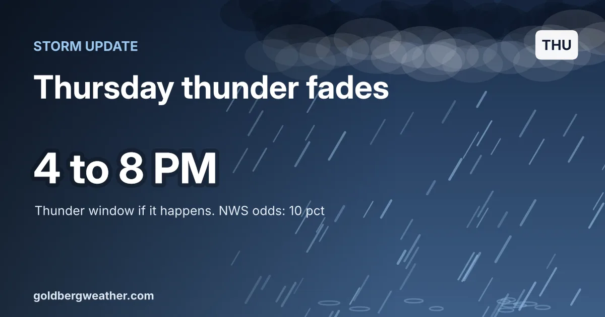
Thursday Storm Update: Thunder Odds Slip, the Rain Does Not
The NWS cut Thursday's thunder chance to about 10 percent and keeps the storm fuel offshore. The rain still comes, heaviest late afternoon into the evening commute, with about an inch for most of the area through early Saturday.
-
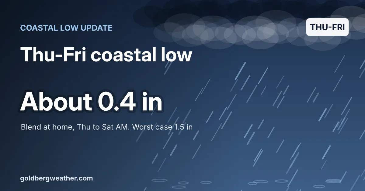
Thursday-Friday Coastal Low: Earlier Start, Smaller Totals
The end of week coastal low now looks like on and off rain from Thursday afternoon into Friday, about 0.4 inch for most of us. The wet GFS and a wild Canadian run keep a small worst case alive.
-
Storm Update: Friday's Rain Trends Wetter for Long Island
Most models now put 1.5 to 2.5 inches on central Nassau for Friday, with more on the East End and about an inch in the city. Expect ponding and a slow commute, not a major flood.
-
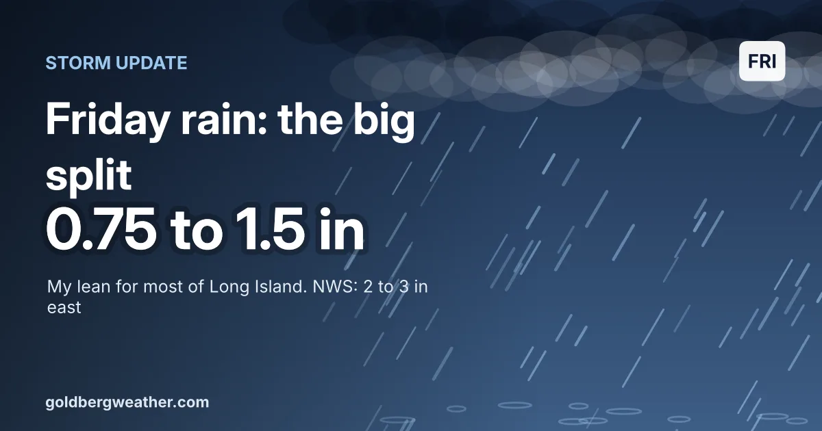
Storm Update: The Euro Blinked on Friday's Rain
The European model pulled most of Friday's rain offshore overnight while the GFS stayed soaked. I'm trimming my lean to 0.75 to 1.5 inches for most of Long Island, below Upton's 2 to 3 inch swath.
-
Snowfall Update: Everything on Track for a Historic Thumping Today
A significant snowstorm is expected to impact the region today and tomorrow, with accumulations likely exceeding 20 inches, and possibly over 25 inches in localized areas. Wind gusts may surpass 50 mph. Stay safe indoors and support Team USA in their match against Canada.
-
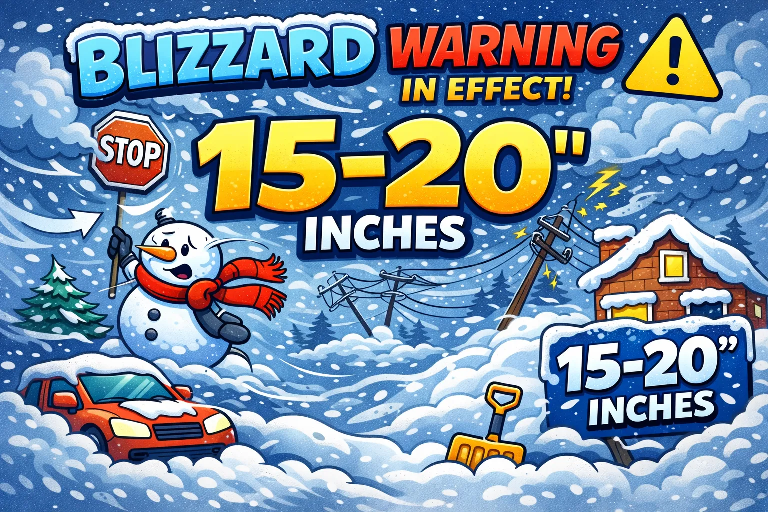
Storm Update: This Is the Real Deal — February 22-23
Our whole area is now under a Blizzard Warning starting tomorrow morning. I just posted a full update on the blog. TLDR: Expect 15–20″ of snow area-wide, blizzard conditions for several hours, and wind gusts exceeding 50 mph. HEAVY snow develops Sunday afternoon and continues through Monday morning.
-
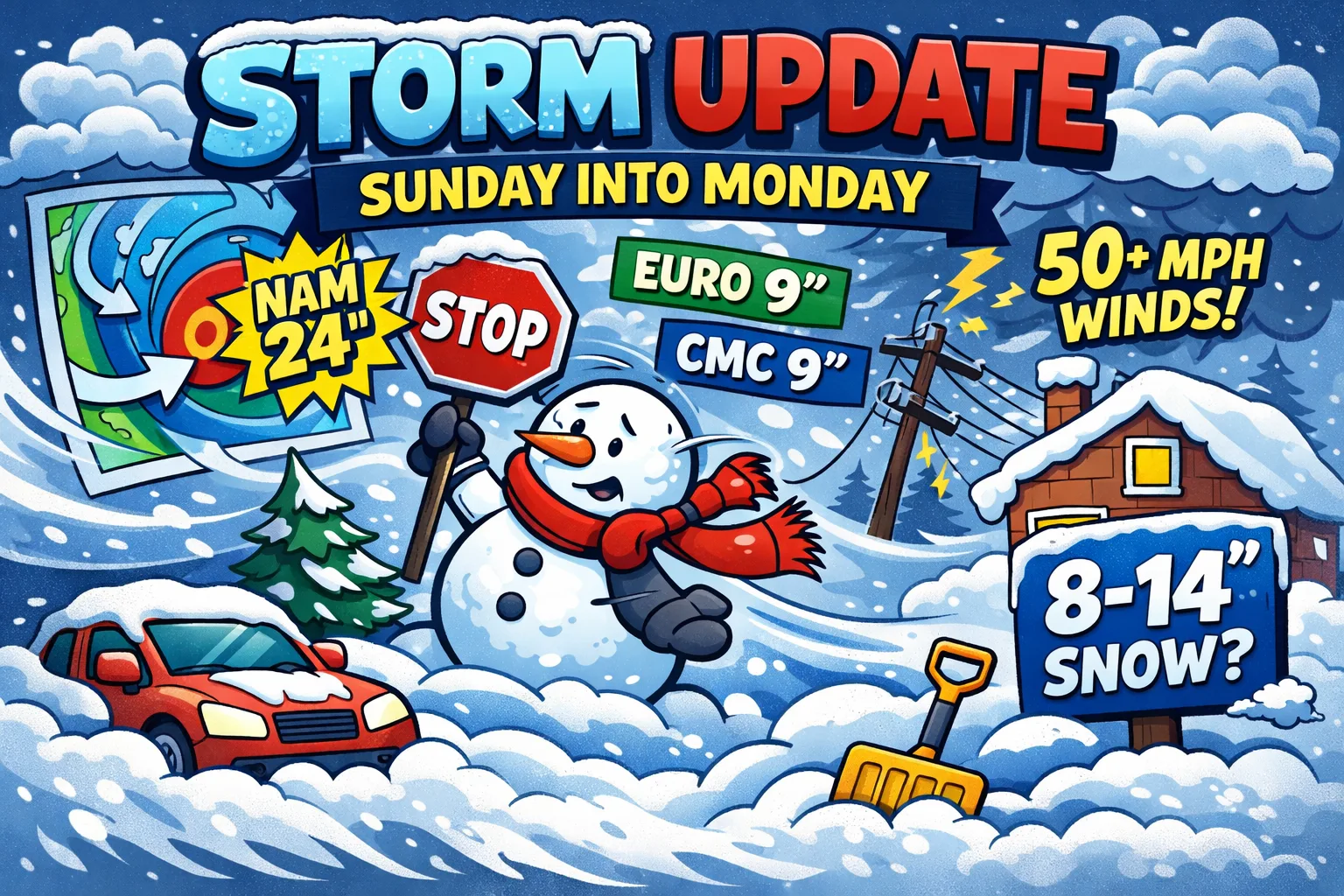
Storm Update for Sunday into Monday: A Major Shift and a Growing Threat
A major winter storm looks to impact our region Sunday into Monday. Full post on the blog. TLDR; Expect 8-14″ of snow area-wide with the potential for far more if the NAM and GFS are correct. Snow develops Sunday afternoon and continues through the overnight hours, winding down by Monday morning.