Saturday Brief: Blustery Today, Then a Dry Week That Warms to 60
It's Saturday brief time, and for once I'm tracking exactly nothing.
No NWS watches, warnings or advisories are up for NYC, Long Island or Westchester as of 8:30 AM Saturday. Official word lives at NWS Upton.
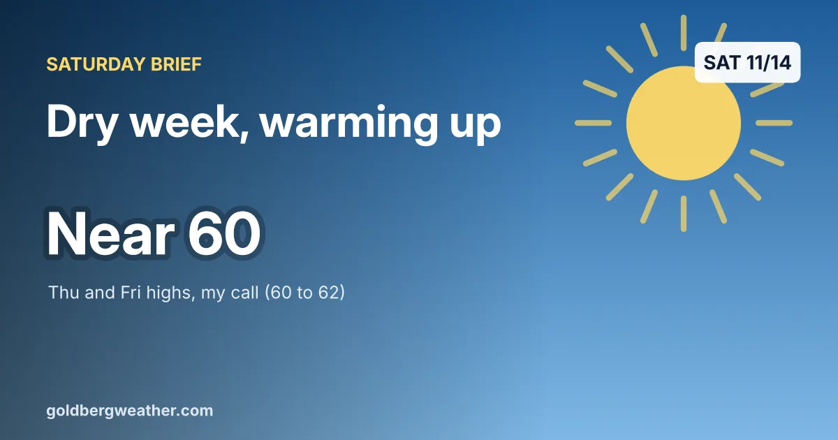
TLDR: Cold and blustery today with gusts in the 20s, then a dry week with a steady warm-up to around 60 by Thursday and Friday. No rain in sight through at least next Saturday.
2 maps. Tap one to enlarge it and read its caption.
Credits: Goldberg Weather.
Quick look back first. The coastal low wrapped up Friday with minor tide flooding and well under the rain we were bracing for. I will take an underachieving storm over the alternative every single time.
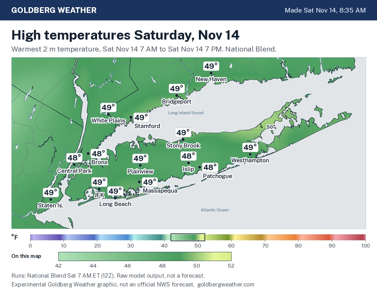
Today is the coldest day of the stretch. A northwest wind gusts 22-28 mph across our region, so hold onto your hat and maybe the recycling bin lid. The National Blend's high temperature map has upper 40s nearly everywhere, but the HRRR and RRFS sit closer to 43 around Farmingdale, so I'm shaving a couple of degrees and going 46. It will feel colder than that in the wind. Sunday is a near copy, a few degrees milder at about 50, and the gusts stick around.
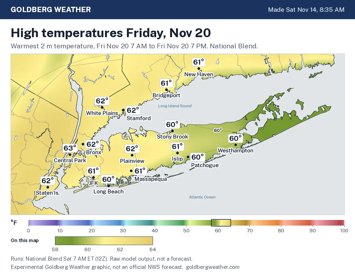
By Monday the wind backs off, and from there it's a slow climb as high pressure settles south of us and a ridge builds in from the Midwest. Mid 50s Tuesday, upper 50s Wednesday, then around 60 Thursday and low 60s Friday, which is right where the Friday high temperature map puts the city and most of LI. Nights stay chilly in the mid and upper 30s, and next Saturday looks dry and mild too.
As for model camps, there basically aren't any this week. The Euro / GFS families, the Canadian and the short range models all keep us dry through at least Friday. Upton's morning discussion calls it an extended dry stretch with low 60s Thursday and Friday, and I agree.
The one wrinkle is Monday of Thanksgiving week, Nov 23. The Euro's AI model alone drops about an inch on Montauk that day, while the regular Euro, GFS and Canadian stay dry, and the AI run even trimmed its own number this morning. One model, nine days out, is a check back midweek signal, not a plan around it signal. If a second model family picks it up, I'll change my tune.
Good week for leaf cleanup and outdoor chores, but tie down the leaf bags today and skip any outdoor burning with dry brush and a gusty Sunday.
Bottom line: nothing to track, and I'm happy to keep it that way.
Editorial watch only. Follow official NWS warnings at weather.gov.