Blog
-
Quick Update on Tomorrows Storm
Sorry for the lack of posts today, kids have kept me very busy. My overall thinking on the storm remains the same. Expect 6-10” of snow area wide. For LI and city snow is likely to change over to sleet around 6-8PM and it will sleet for several hours at…
-
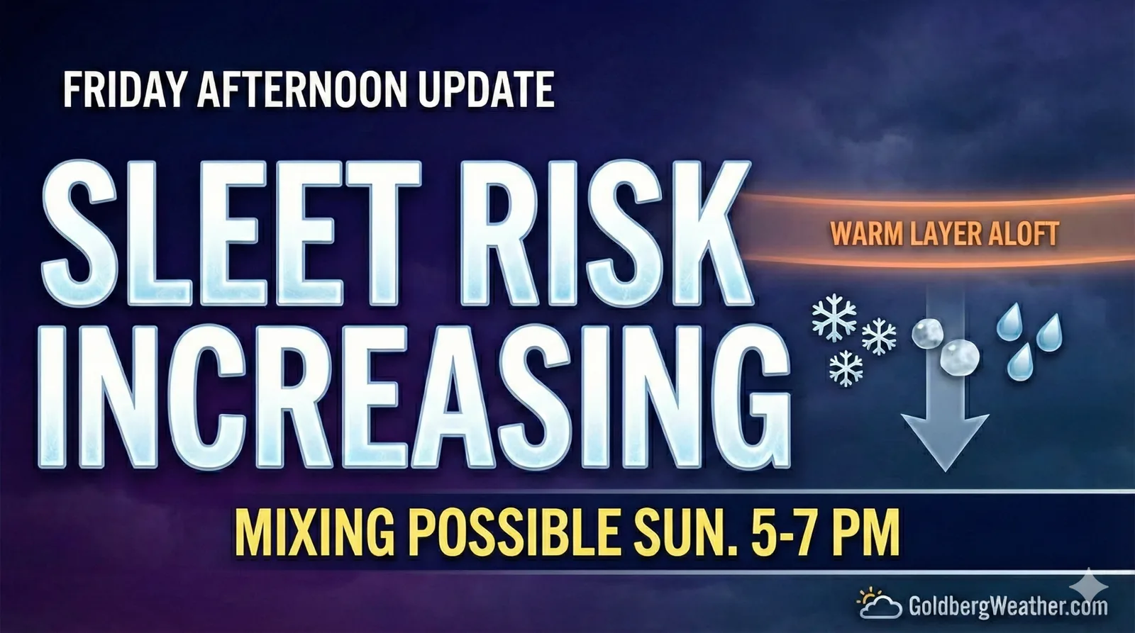
Sunday Storm Update: Sleet Risk Increasing
I just posted a detailed update to the blog on the storm that will impact our region on Sunday. Models are hinting at a warm layer that could bring sleet into the mix Sunday evening. A changeover around 5–7 PM would limit totals, but the margin is thin. Forecast: 4–8″ snow plus significant sleet, hi
-
Sunday Storm- Quick Update
Update posted to blog with slight changes to totals
-
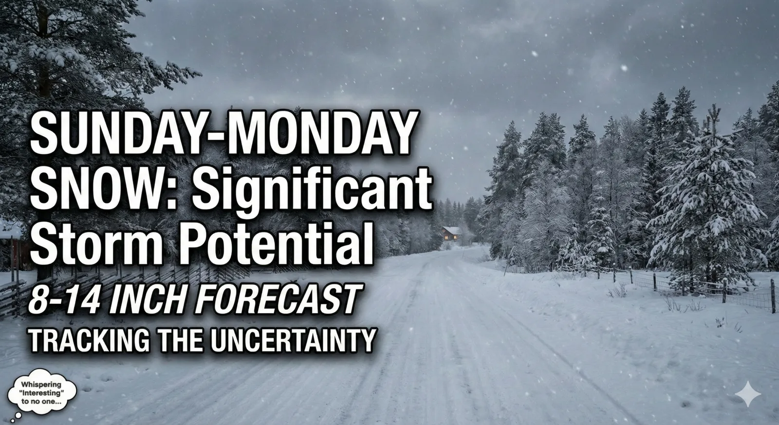
Sunday Storm Update: Significant Snowfall on the Way (8–14” Predicted)
A significant snowfall is expected to affect the region starting Sunday morning, with temperatures initially in the teens promoting fluffy snow accumulation. Predictions vary between 7-9 inches if sleet mixes in, and up to 18 inches if snow persists. The forecast calls for 8-14 inches generally, wit
-
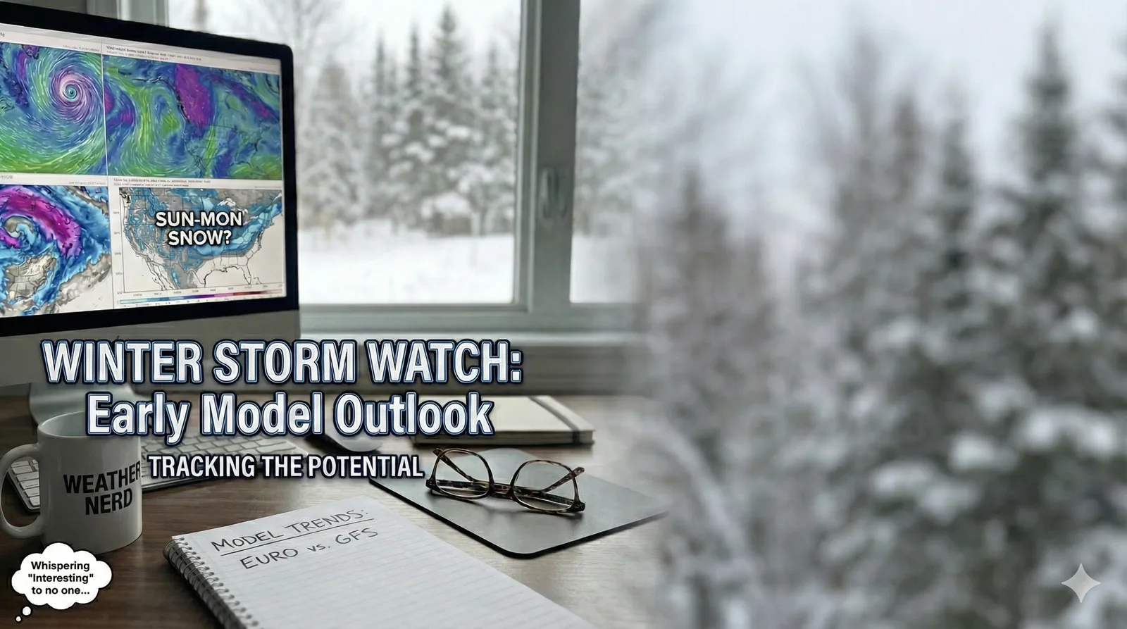
Sunday Into Monday Potential Storm
While it’s still a long way out in the weather world, the major models are starting to raise eyebrows for Sunday into Monday, showing the potential for a significant snowfall across the entire region. It’s far too early to lock in specifics, but this is definitely a timeframe worth watching…
-
Friday Morning Storm Update
Just posted a quick update about tonight’s snowstorm. Expect around 6-7 inches or more area wide.
-
Updated Forecast: Friday Night Snowstorm Taking Shape 5–10 Inches Expected
New update: 5–10 inches of snow Friday night. Check the blog for details.
-
Friday Night into Saturday: Another Round of Snow (Christmas Weekend Edition)
A quick-hit winter storm is lining up for Friday night into Saturday, with accumulating snow likely and just enough uncertainty to keep things interesting.
-
Storm Update: Why the Big Snowstorm is Now Unlikely
Storm Update: The winter storm we’ve been tracking is looking less likely to develop into a major event. Instead of a blockbuster snowstorm, we may only see a few inches late Wednesday into Thursday. Find out what changed in the forecast and what to expect next!
-
Tracking Uncertainty: Snowstorm Forecasts Still Evolving for Wednesday-Thursday Storm
As of this afternoon, there’s still no clear consensus across the models regarding the snowstorm potential from Wednesday evening into Thursday. At a minimum, we’re expecting a light to moderate snow event across the region. However, there’s significant variability in the model projections for how t