Blog
-
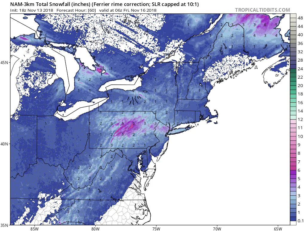
And We’re Back- Early Season Storm to Impact Region on Thursday 11/15/18
I’m sorry to be the bearer of bad news, but I have to open up shop early for the 2018-2019 Winter Season. As of this afternoon, it looks likely that our region will be impacted by a minor winter weather event on Thursday afternoon. Currently, it appears that snow will…
-
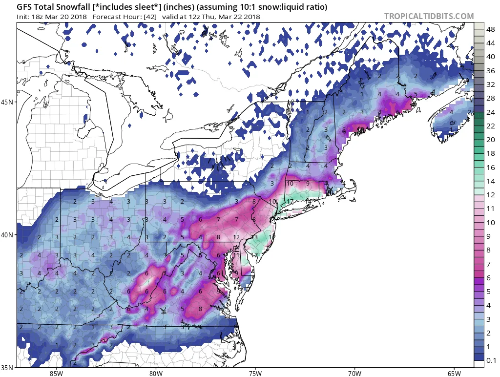
3/20/-3/22/2018 Storm Update
As I mentioned earlier today, we will be experiencing a significant winter storm over the next day and a half. Right now many may be experiencing sleet and other mixed precipitation. This will taper off tonight, and lead to a lull until around sunrise. Snow will pick up in intensity during the…
-
3/20-3/22/2018 Quick Update
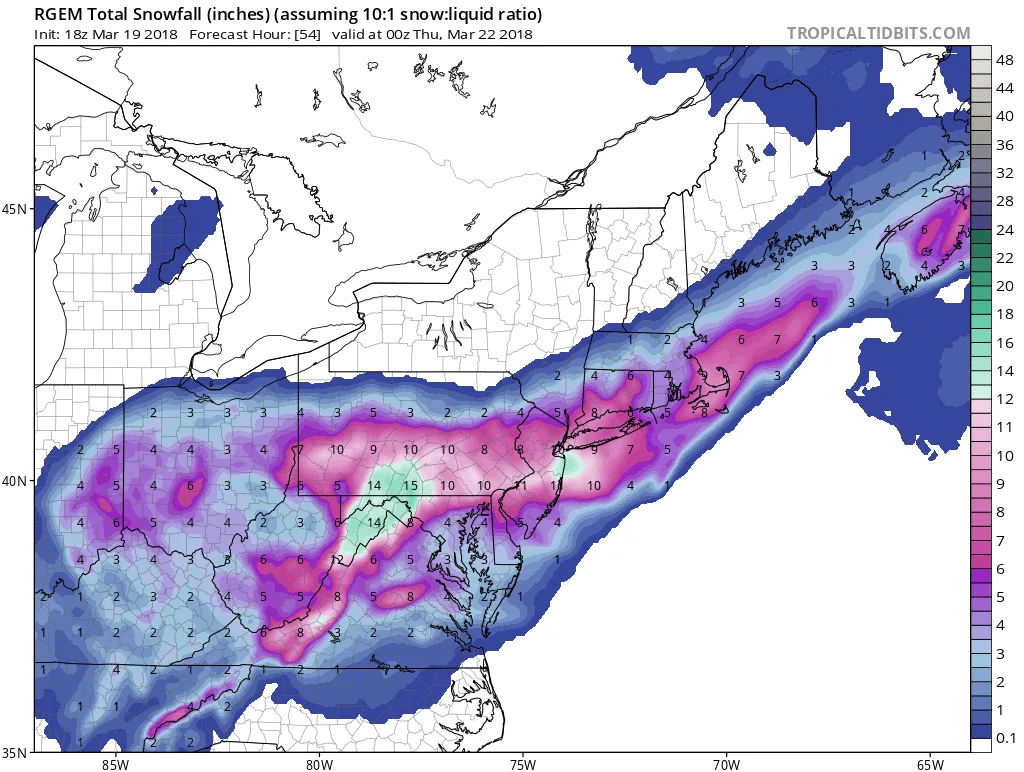
Just a quick update on the latest models: NAM just showed 8-14″+ area wide, RGEM is at around 12″ area wide, GFS is over a foot…Based on this, I’m forecasting that you should be prepared for an 8-14″+ snowstorm…More updates later today.
-
3/20-3/22/2018 Snowstorm Update
As promised, I am back with a more detailed forecast and discussion: As of this evening, models are showing a moderate winter storm impacting our area starting late tomorrow night. This represents a significant change from last night when I was strongly leaning towards no storm. These changes are dr
-
3/20-3/22/2018 Snow Storm
So it looks like my leaning against a storm from last night was wrong. Models today have made a significant jump towards a colder and snowier solution. The key to all this is a piece of energy over Maine that is now modeled to move further north than originally thought.…
-
3/20-3/22/2018 Weather Event
Many of you have probably heard about the chance for a storm sometime between Tuesday and Thursday this week. While the time period does need close monitoring, I do not believe as of this evening that we will be in the bullseye of the storm. Therefore, I will not be…
-
3/12-3/13/18 Storm Update
We are on track for a light to moderate snowfall across the area. Snow will begin over night and continue through the morning. There is still some uncertainty in regards to snowfall totals, but for now I’m leaning towards the lower end of my below forecast. The low appears to…
-
3/12-3/13/18 Snow Event
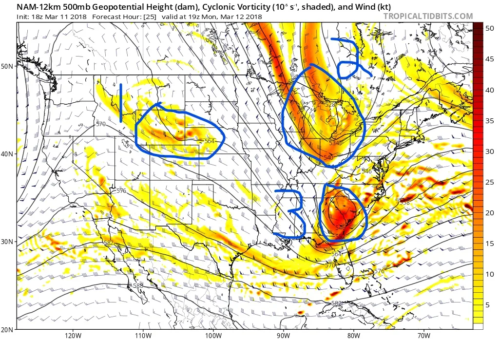
Here we go again, another snowstorm for our area is on its way. As with the last storm, this one is proving difficult to forecast. This is due to the nature of the storm and the interaction between areas of energy coming up from the Southwest, diving down from Canada…
-
3/7/18 Update- Game On
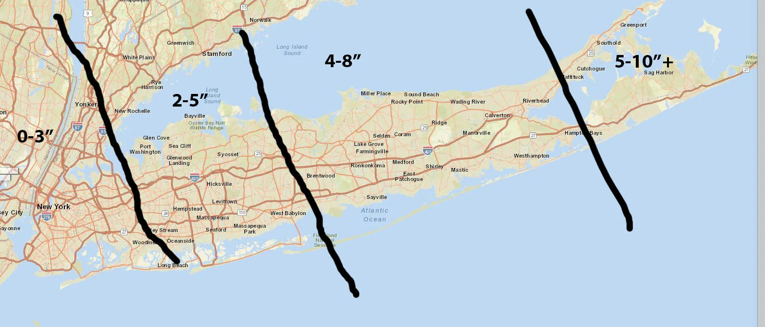
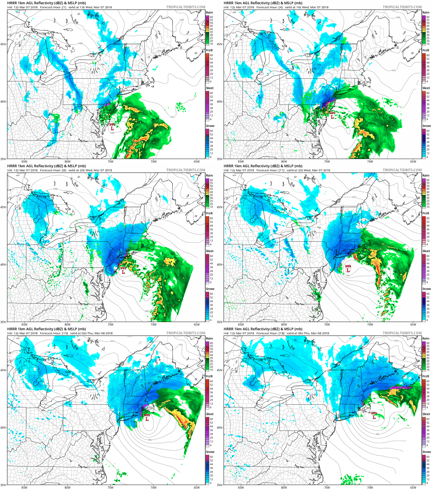
As I’ve been alluding to a slight shift East could make a significant difference in snowfall totals. Well, it happened and it looks like the storm will track slightly East of earlier modeling. What this means is increased totals for all. Suffolk and possibly parts of Nassau will see a…
-
3/7/18 Late Evening Update
Just a quick update: So far both the NAM and the RGEM have come in slightly south and east of their previous runs, additionally, the HRRR at the end of it’s run is leaning towards the further south and east models. What this means for us is that the mid…