Blog
-
3/3/19-3/4/19 Storm Update
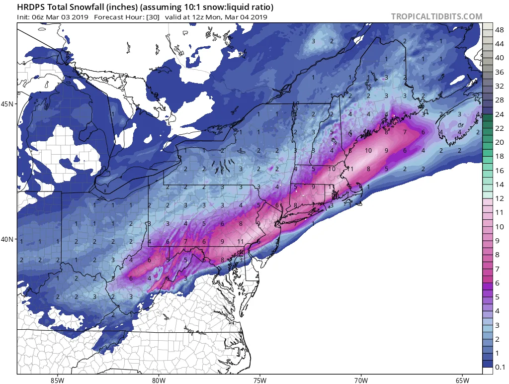
A quick rundown on tonights storm follows below. The Goldberg Weather household has been very busy, hence the lack of updates: The storm should start somewhere between 5&7pm with light possibly mixed precipitation. The storm will continue as snow with some mixing occurring, especially on the South S
-
Wintry Mix Likely Overnight
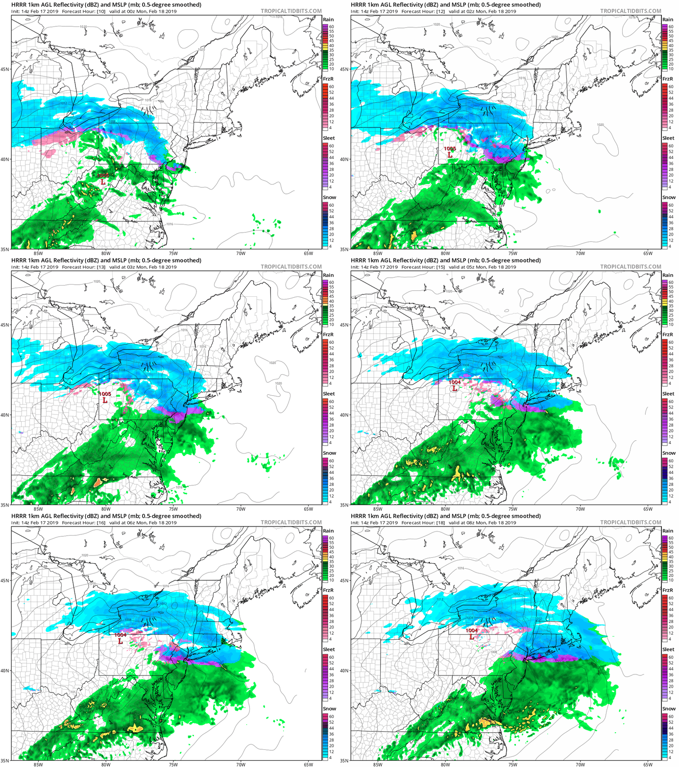
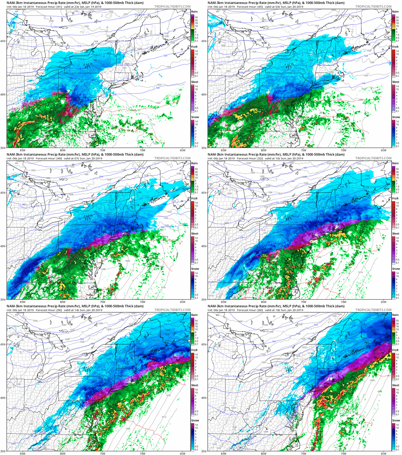
Our region is expecting another round of wintry weather overnight tonight. As with the last round, it will be relatively low impact, and will end with some light rain. Precipitation will begin to overspread the area by about 9PM this evening. Areas to the south of the city, will likely…
-
2/12/2019 Winter Weather Event
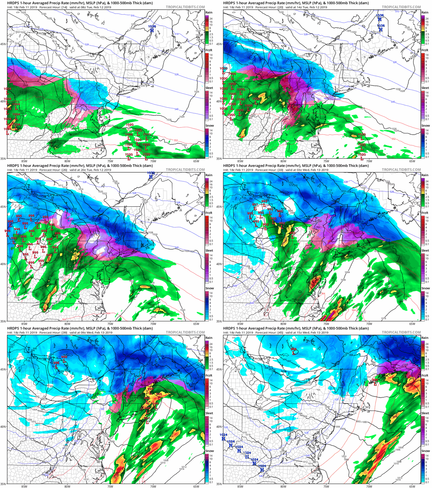
I have not posted much about tomorrows event, simply because I’m not that impressed by it. Overall, we’re looking at a minor winter weather event for the area. Snow will begin tomorrow morning between 7 AM and 9 AM. Snow will continue throughout the morning before changing to sleet sometime…
-
Storm Update-
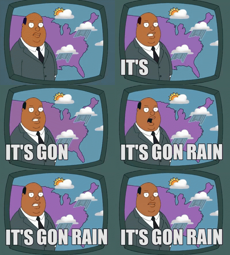
Just a quick update on the storm for tonight into tomorrow: The storm is tracking further North than originally forecast. Therefore, we’re going to see mostly if not all rain. There may be some light snow at the start this evening, but that will quickly change over. Enjoy the soaking!
-
Saturday/Sunday Storm Update
Sorry for the lack of an update last night, the real world got in the way of storm tracking. Nonetheless, I am here now with an update: As you can see this morning, we are receiving anywhere from a coating to an inch of snow area-wide. The system that is…
-
Sunday Storm Update
A quick update on the storm for this weekend: Models continue to vary on the final evolution of the storm for this weekend. I should be able to give a more refined forecast with timings either tomorrow evening or on Friday. This is not an easy forecast, since as I…
-
SUNDAY SUNDAY SUNDAY…Maybe??
Well the good ole TV Weather Personalities winter weather hype has begun. As many of you have heard, there is a chance for a strong storm to pass through our area starting late Saturday night through Sunday. What this storm actually will look like, I’m not sure yet. All that…
-
Update on Christmas and Weather to Come
We continue to watch for the possibility of some light snow to move through the area on early Monday morning. Overnight, the NAM moved away from the idea of any snow falling, but the RGEM trended towards some light snow. What this really means is that we won’t know what…
-
I’m Dreaming of a White Christmas
I’ve been asked, when I’m going to start updating regularly and what time is better than to start with a post about the potential for a White Christmas! I’m happy to report that the models are starting to pick-up on the potential for a minor snowfall late Sunday night into…
-
11/15/2018 Storm Update
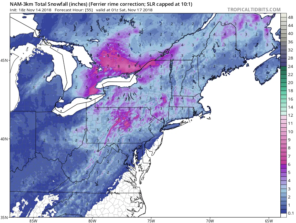
Unfortunately we continue to be on track for our first winter weather event of the season tomorrow afternoon. While exact timing will be hard to pin-down with this event, generally expect snow to overspread the region between 1-3PM tomorrow snow will be heavy at times throughout the afternoon. The s