Blog
-
Strong Nor’easter to Impact Area Starting Tonight
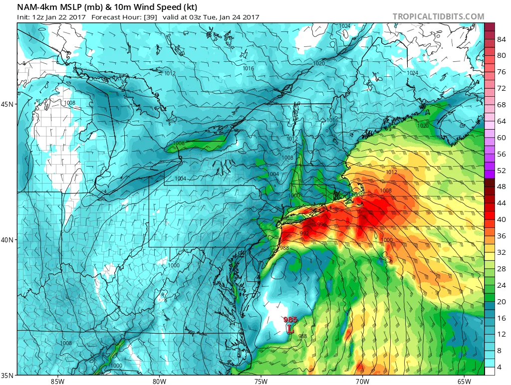
Beginning later tonight through Tuesday morning, our area will be impacted by a strong Nor’Easter. Winds will begin to pickup later this afternoon into tonight. Additionally, there may be some light rain in the area this afternoon and tonight. By tomorrow morning winds will be gusting over 30-40mph.
-
Chance for Some Light Snow Early this Evening
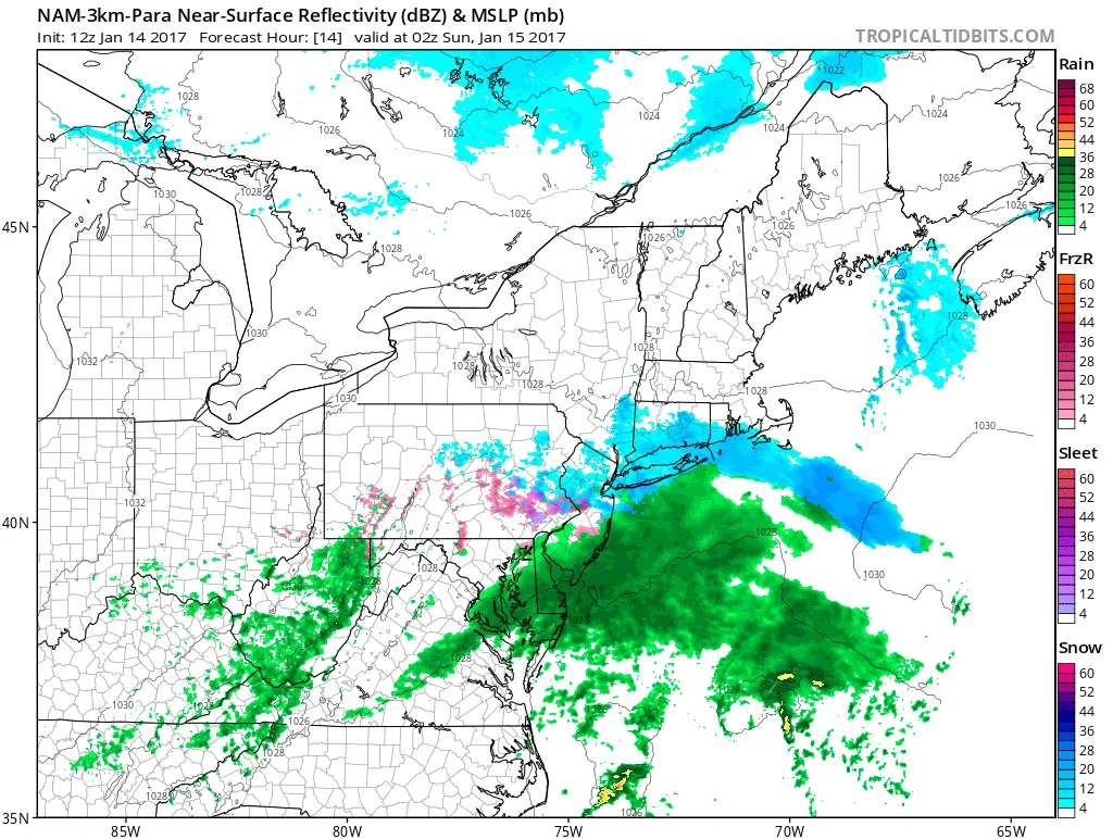
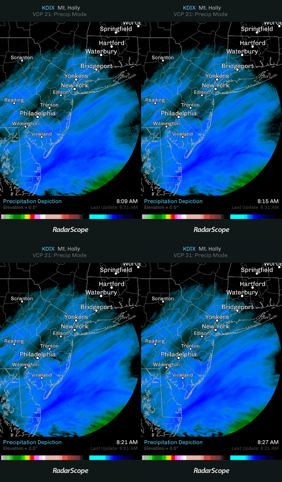
Models this morning have trended slightly North with precipitation related to a wave of low pressure passing South of the area. What this means for us is a chance of some light snow after 4PM today. By the time the low moves out late tonight, we could have a coating…
-
Saturday Storm- Update- Increased Snow Totals
Don’t look now, but the HRRR/GFS/RGEM just came in and they all have increased the precipitation that we can expect in the region. At this point in time, 8 inches of snow is looking more possible. Therefore, I am now increasing the forecast for Nassau to 4-8 with an outside chance…
-
Saturday Storm-Morning Update
As of this morning Nassau and Suffolk are under a Winter Storm Warning, NYC is under a Winter Weather Advisory. Models overnight were fairly consistent in regards to the expected precipitation amounts, and therefore my snowfall forecast from last night remains as is. That being 2-4 for NYC, 3-6 for…
-
Saturday Storm- Friday Evening Update
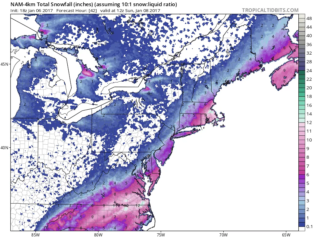
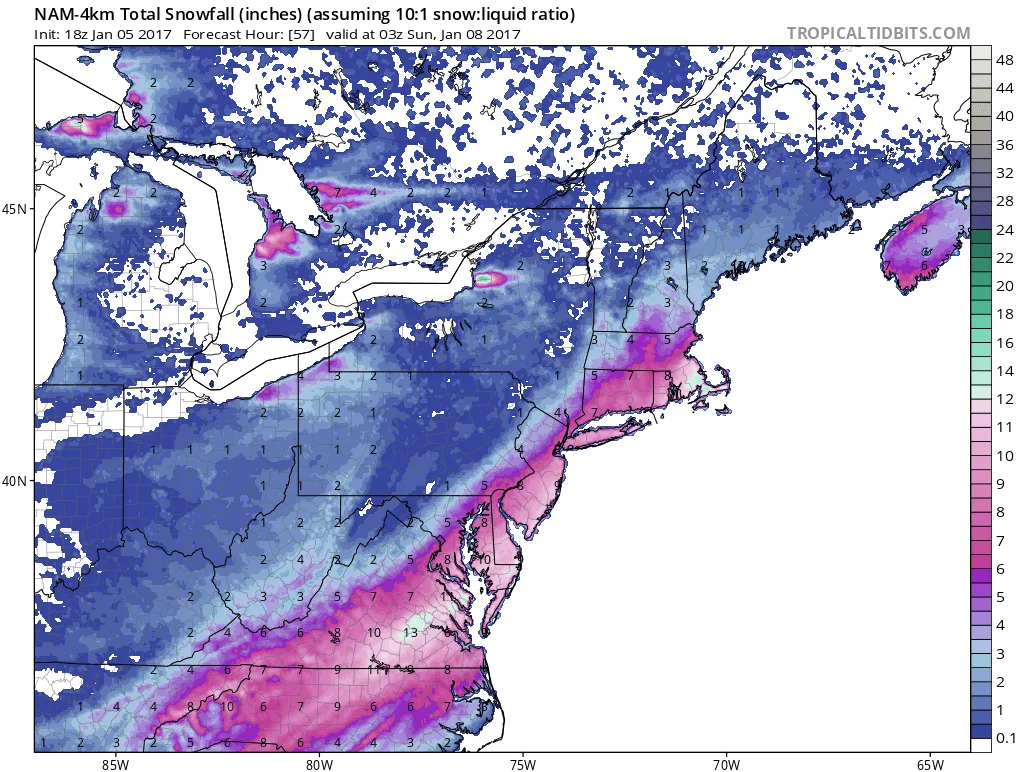
Tonights model runs continue the theme of a moderate snowfall for the region tomorrow. The snow will overspread the region between 8 and 10 am tomorrow. It will continue throughout the day, heavy at times. Snow should begin to taper off sometime between 5 and 7PM tomorrow evening. Most models…
-
Saturday Storm Update- Part 2
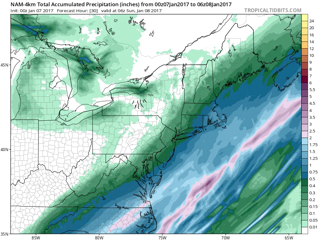
The most recent model runs continue to trend towards more snow. The RGEM which is considered decent in the short range placed our region solidly in the 3-6/4-8 range. This aligns fairly well with the HiRes NAM model. The GFS continues to show less than both these models but has…
-
Saturday Storm Update- Model Mayhem
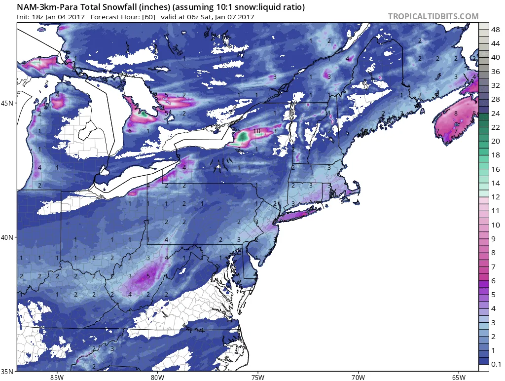
This update will be short since more models are still coming out. A more detailed post will come a bit later. Models continue to disagree on exact snow totals for tomorrow, and therefore it is very difficult to issue a definitive forecast (Yes I know I sound like a typical…
-
Friday and Saturday Storm Updates
Two storms may impact our region over the next few days.
-
Potential Snow Event Early Friday Morning
Models are beginning to hint at a potential snow event for early Friday morning. This event could have a significant impact on the Friday morning commute. As of now we can expect anywhere from 1-6 inches of snow, an unusually wide range for a prediction.
-
Update on 12/16-12/17 Snow
Just a quick update: Models continue to show snow for our area starting late tonight/early tomorrow morning. By the time the snow changes to rain, we can expect anywhere from a coating to 2″ of snow. There will be less on the South Shore and more as you head North.…