Blog
-
Arctic Outbreak and Snow Update
The next few days will feature the coldest weather we have seen so far, with daytime highs on Thursday and Friday in the low to mid-20’s. The cold weather will be capped off by snow Friday night into Saturday. As of now our region can expect a coating to 2″, with more possible on the North Shore.
-
Sunday into Monday Snow Update
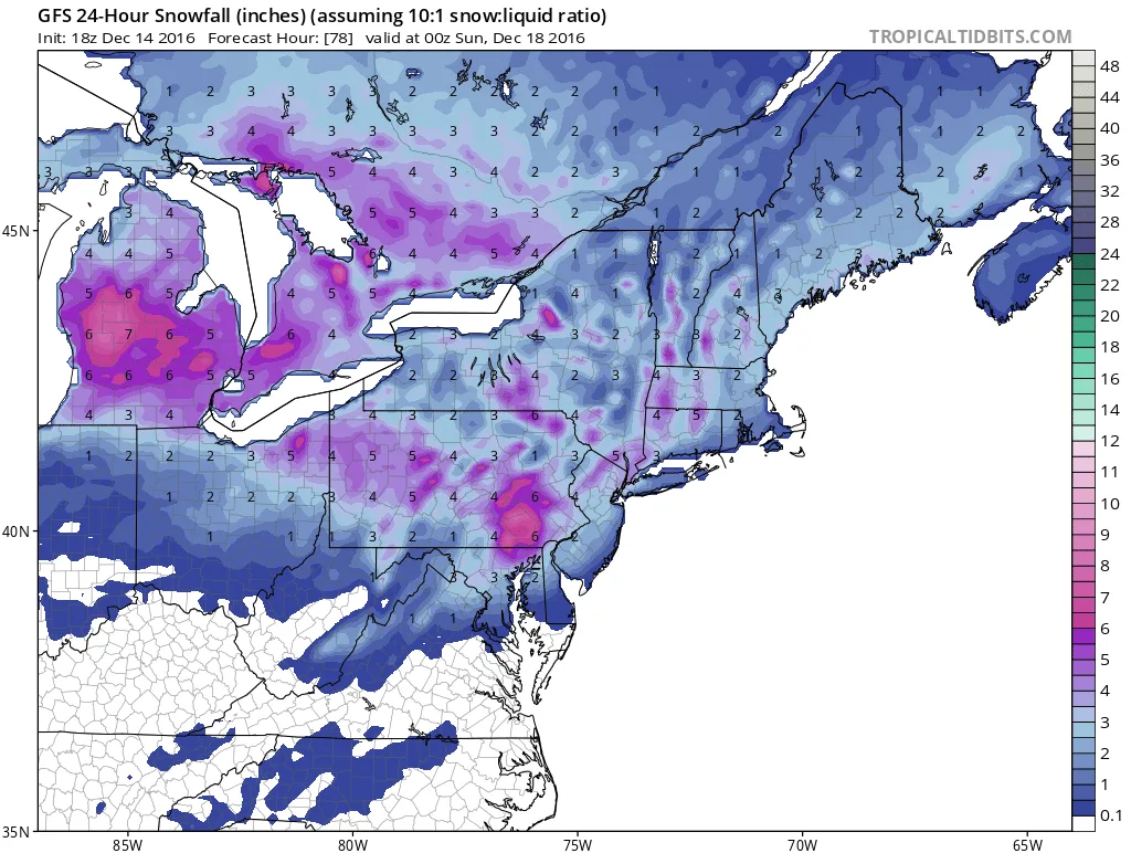
A quick update on the possible snow for Sunday into Monday: As of now models are showing that we will see a few hours of snowfall before changing to rain early Monday morning. Total snowfall will likely be less than an inch, depending on the track of the storm, it is…
-
First Accumulating Snowfall Possible Sunday into Monday
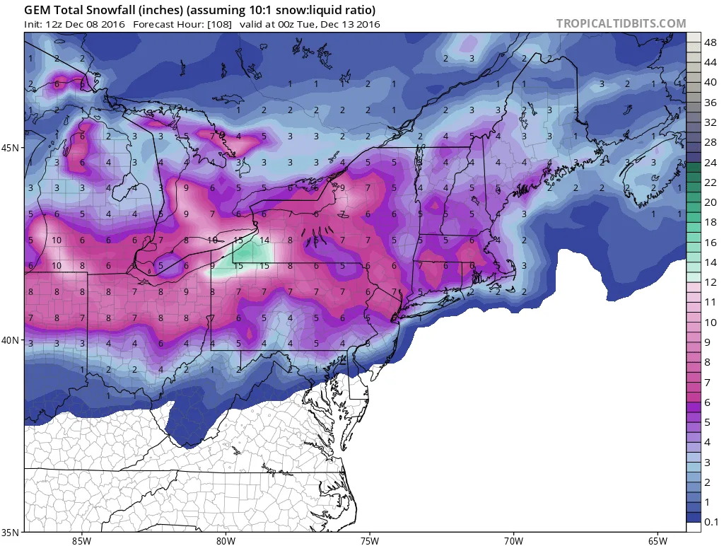
As I hinted at last week the weather pattern has shifted from Fall to Winter and with that shift models are now showing that we could see our first accumulating snowfall Sunday into Monday. As of now, the models are showing only a few inches followed by rain, but it’s certainly enough to be a nuisan
-
Colder Weather on the Way
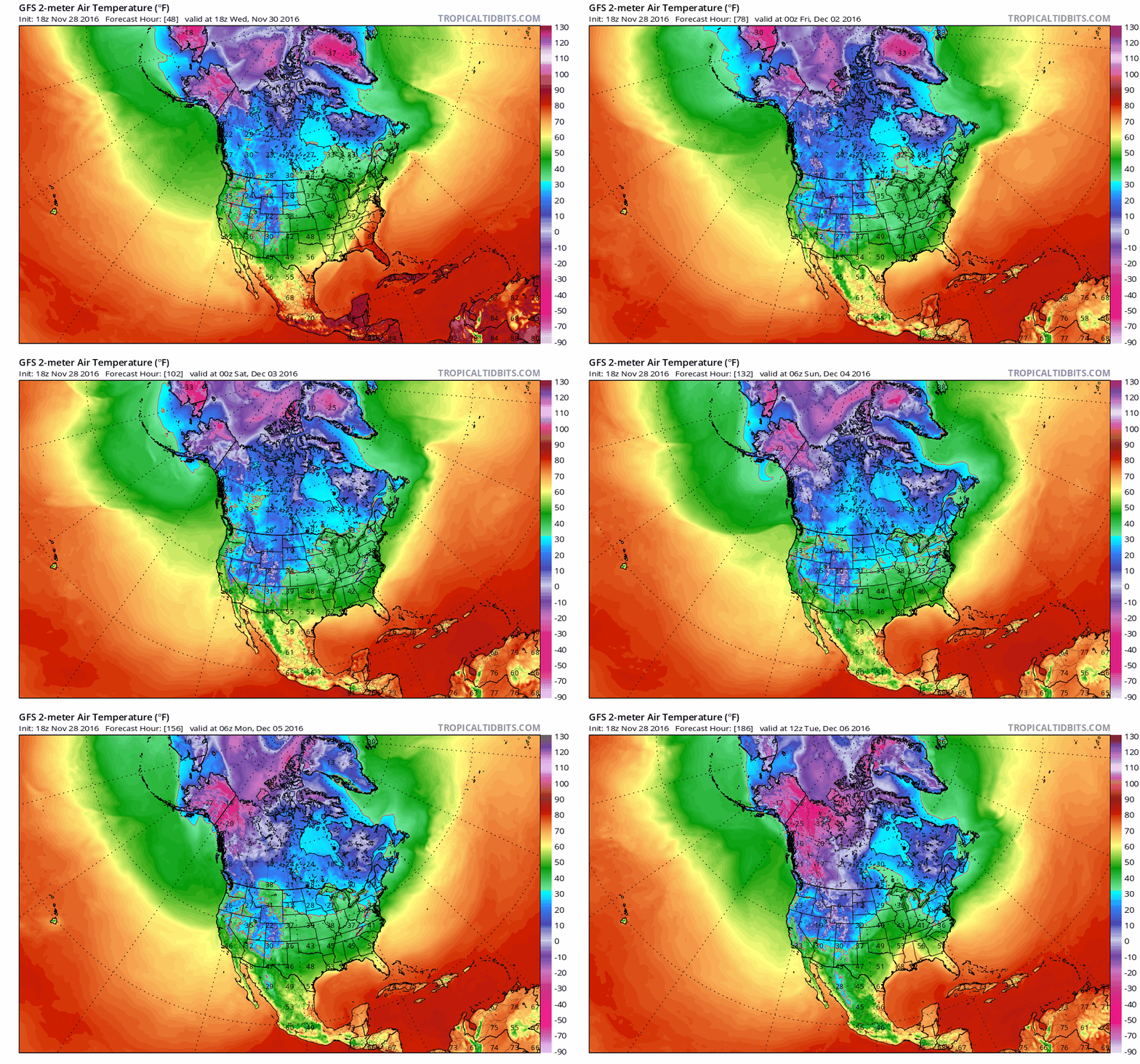
And so it begins, our transition from Fall into Winter. The unsettled weather that will impact our region over the next several days will have a significant impact on temperatures moving forward.
-
Fall Update
An update on where we stand with the transition to winter.
-
Tropical Storm Hermine- Tropical Storm Warning Issued
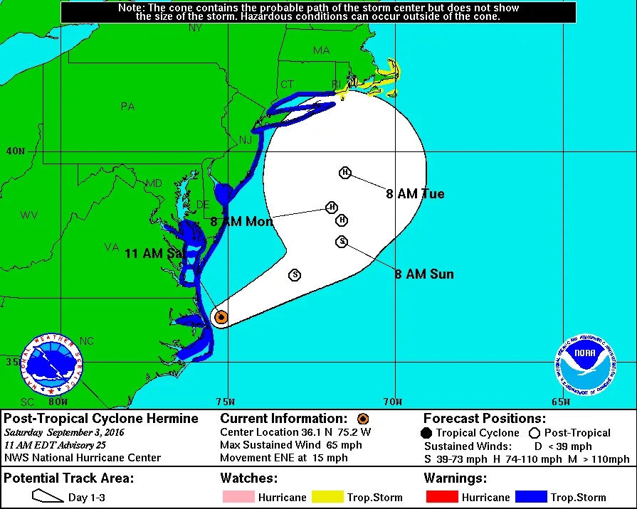
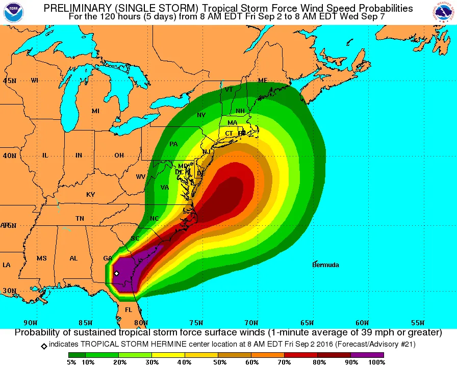
Our region is now under a Tropical Storm Warning. The track continues to be uncertain. The latest NAM run brought tropical storm force winds into our region, and some rain squalls.
-
Tropical Storm Hermine- Morning Update 9/3/2016
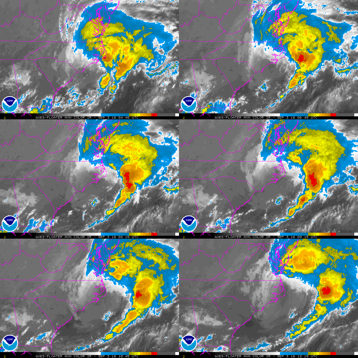
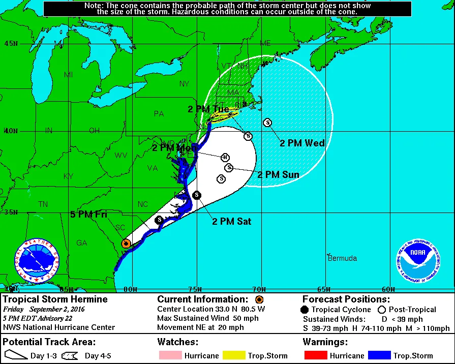
Models continue to show Hermine tracking up the coast in the vicinity of our region. The good news is that they are starting to cluster around a track off shore of our area.
-
Tropical Storm Hermine- 9/2/2016 Afternoon Update
Hermine continues to pose a threat to our region in the Sunday to Monday timeframe. As of now, at minimum we can expect windy conditions with rain showers. Depending on track, these winds could exceed 50-60mph with heavy rain. Significant uncertainty remains.
-
Hermine Update- Watches Issued
A Tropical Storm Watch has now been issued for our region. See below notes from the NWS. Full update to come this afternoon.
-
Hurricane Hermine- Evening Update
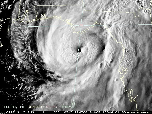
Hermine continues to strengthen in the Gulf and could possibly impact our area on Sunday into Monday.