Strong Nor’easter to Impact Area Starting Tonight
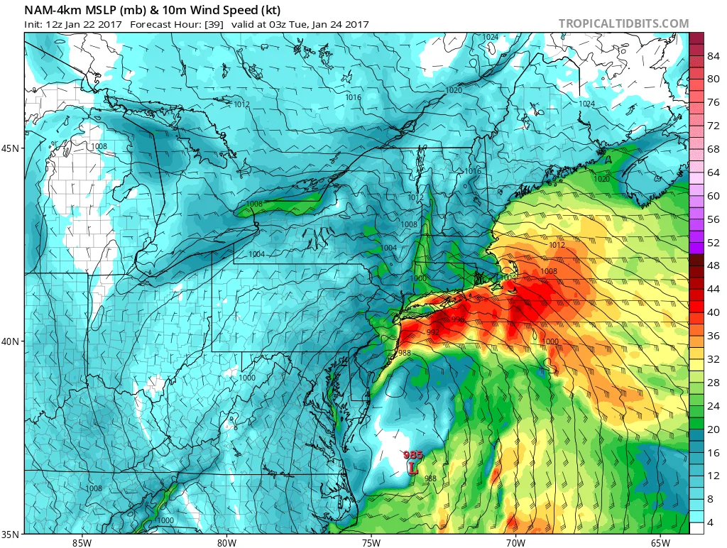
Beginning later tonight through Tuesday morning, our area will be impacted by a strong Nor’Easter. Winds will begin to pickup later this afternoon into tonight. Additionally, there may be some light rain in the area this afternoon and tonight. By tomorrow morning winds will be gusting over 30-40mph. The core of the storm will impact the area later tomorrow afternoon through early Tuesday morning. During this time, we can expect to see sustained winds over 50 mph, with wind gusting over 60mph. It is possible that within strong thunderstorm cells (yes thunderstorms) that winds may gust over 70mph or more. Below you will see on the maps that winds just above the surface will be over 70mph during the height of the storm. In regards to rain, we can expect somewhere between 1-2inches of rain, and possibly more if a strong thunderstorm passes over your area.
Overall, this is shaping up to be the strongest Nor’easter that the region has seen in a long time and has the potential to cause significant property damage and power outages.
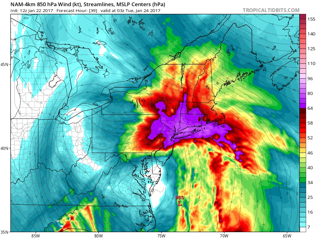
2 images. Tap one to enlarge it and read its caption.
Note that 925MB is about 2,000 feet above the surface
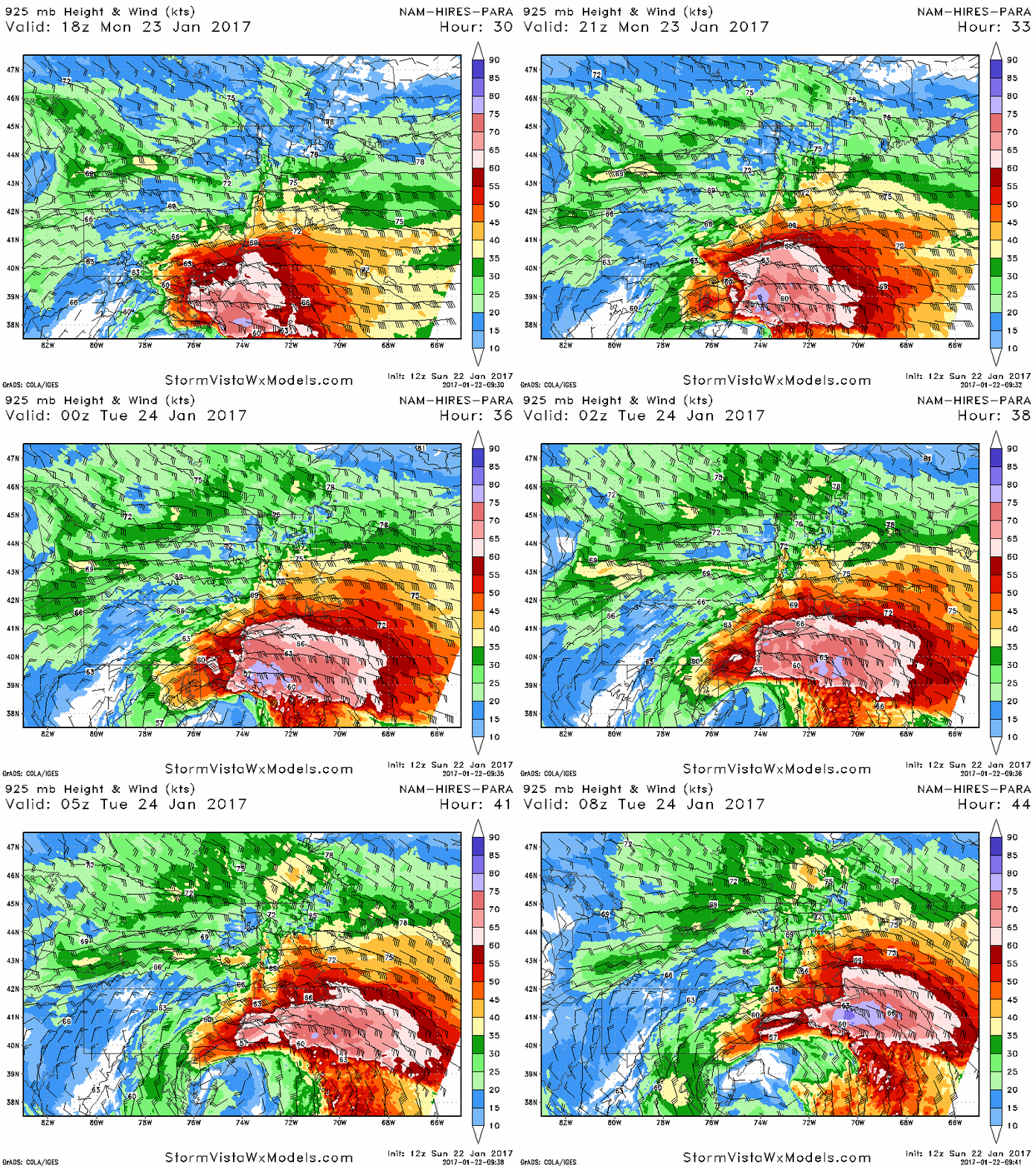
Gif courtesy of stormvistawxmdoels