Hermine Update- Watches Issued
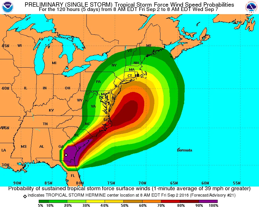
A Tropical Storm Watch has now been issued for our region. See below notes from the NWS. Full update to come this afternoon.
Tropical Storm Watch
CTZ009-010-011-012-NJZ006-012-106-108-NYZ071-072-073-074-075-078-
079-080-081-176-177-178-179-022100-
/O.NEW.KNHC.TR.A.1009.160902T1500Z-000000T0000Z/
1100 AM EDT FRI SEP 2 2016
SANDY-HOOK-NJ 40.46N 74.00W
WATCH-HILL-RI 41.30N 71.86W
HAZARDOUS WEATHER OUTLOOK
NATIONAL WEATHER SERVICE NEW YORK NY
445 AM EDT FRI SEP 2 2016
NYZ075-080-081-178-179-030845-
KINGS (BROOKLYN)-SOUTHWESTERN SUFFOLK-SOUTHEASTERN SUFFOLK-
SOUTHERN QUEENS-SOUTHERN NASSAU-
445 AM EDT FRI SEP 2 2016
THIS HAZARDOUS WEATHER OUTLOOK IS FOR SOUTHEAST NEW YORK.
.DAYS TWO THROUGH SEVEN…SATURDAY THROUGH THURSDAY.
STARTING LATE SATURDAY…TROPICAL CYCLONE HERMINE COULD IMPACT
THE AREA WITH EFFECTS INTO THE MIDDLE OF NEXT WEEK. MODERATE TO
MAJOR COASTAL FLOODING IMPACTS…AS WELL AS HEAVY RAIN AND STRONG
WINDS…ARE POSSIBLE DEPENDING ON THE EXACT TRACK AND STRENGTH OF
THE SYSTEM. AT THE LEAST…A HIGH RISK FOR RIP CURRENTS AS WELL AS
BEACH EROSION WILL EXIST THROUGH THE WEEKEND AND INTO NEXT WEEK.