Blog
-
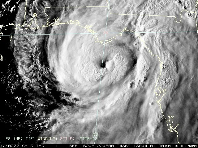
Hurricane Hermine- Evening Update
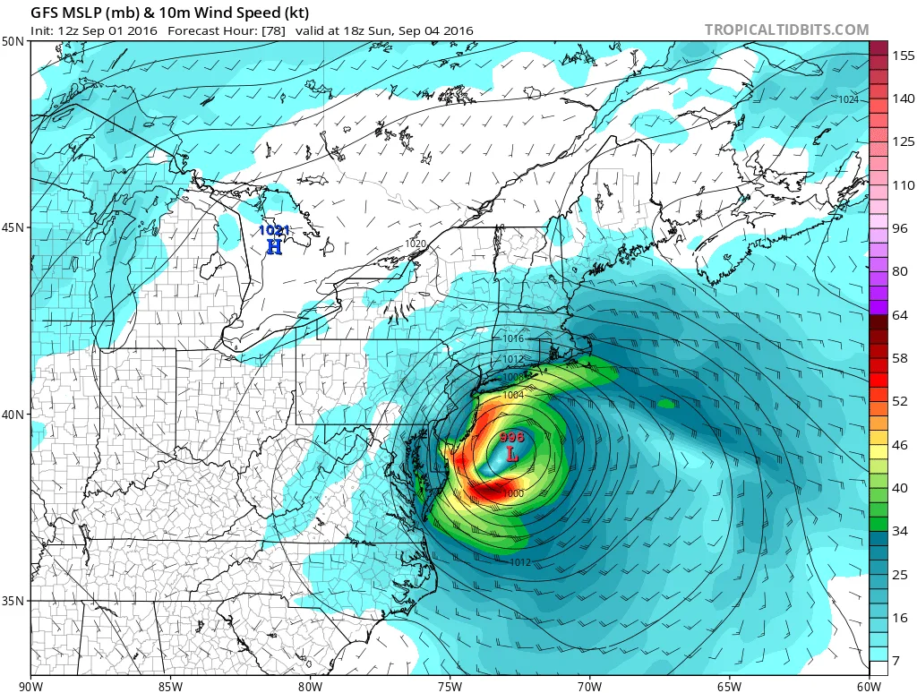
Hermine continues to strengthen in the Gulf and could possibly impact our area on Sunday into Monday.
-
Tropical Storm Hermine
Tropical Storm Hermine is forecast make landfall in Florida and then track up the coast. There is a possibility that she will have a significant impact on our region with strong winds and heavy rain beginning late Saturday night.
-
First Heatwave of Summer Has Arrived
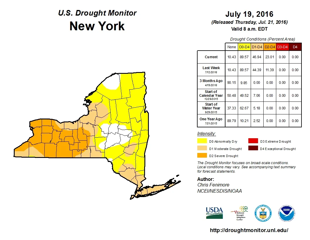
Goldberg Weather is back from Summer hiatus! Summary: The next few days will be hot, with temperatures in the 90’s and little to no rain exacerbating the drought conditions.
-
Spring Update
A quick update on where we stand with the weather and the lack of blog posts.
-
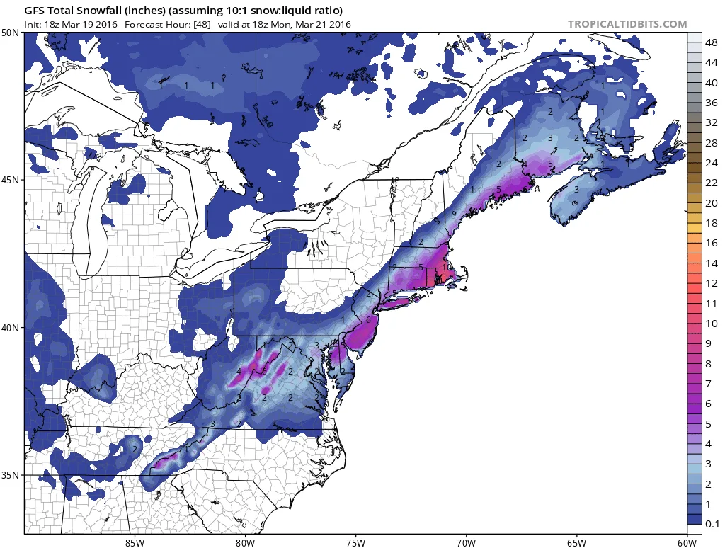
3/20/2016- Storm Update- Snowfall Totals
The storm continues to be on track to impact our region starting late this afternoon.
-
3-19-2016- 18Z Model Update
Unfortunately the 18Z models just came in, and they moved towards slightly more snow than the last update.
-
3/19/2016- Winter Weather Advisory Issued
A winter weather advisory has been issued by the National Weather Service for tomorrow’s storm.
-
3/19/2016- Morning Update- Big Changes!?!
Overnight, almost all of the models trended towards the GFS/NAM solution and less snow for the area. I would not say the snow threat is totally gone, since there are still many models showing light snow come through the area on Sunday night into Monday.
-
3/18/2016- Storm Update
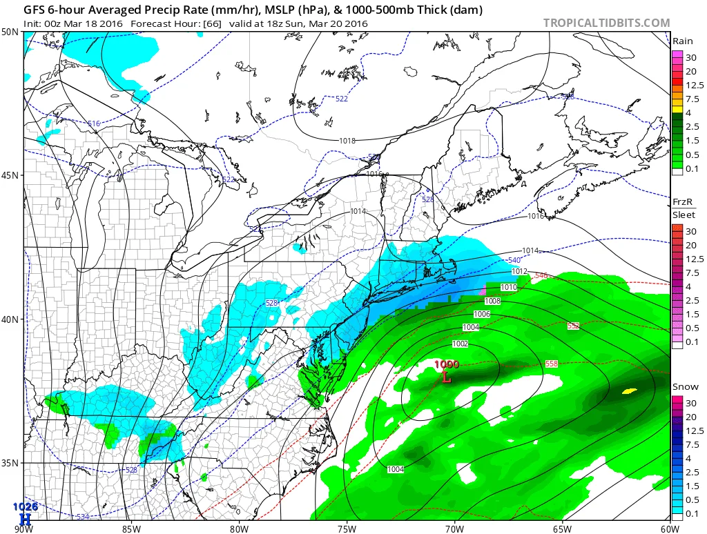
The latest modeling continues to indicate that a winter storm will impact the region in the Sunday to Monday timeframe. The timing of the start of snow still varies on the models from mid-day Sunday to early Sunday evening. In regards to totals there is still high variability as well. For…
-
3/17/2016- Return of Winter Update
As of this afternoon, all of the major global models have a significant storm impacting our region starting on Sunday. The timing of the start of the storm varies across models from Mid-Late Sunday Morning on the GFS to later in the day on the UKIE/EURO. The timing will have a significant impact on