Goldberg Weather Live Updated 4:43 PM

All posts

3/3/19-3/4/19 Storm Update
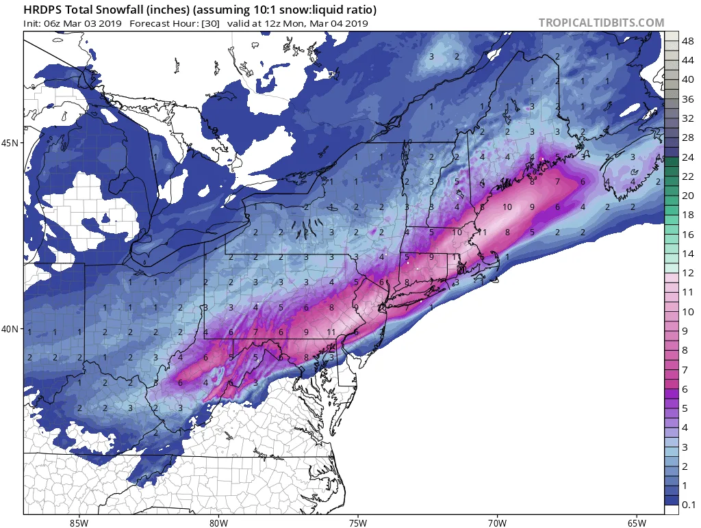
hrdps asnow neus 30.png

A quick rundown on tonights storm follows below. The Goldberg Weather household has been very busy, hence the lack of updates:

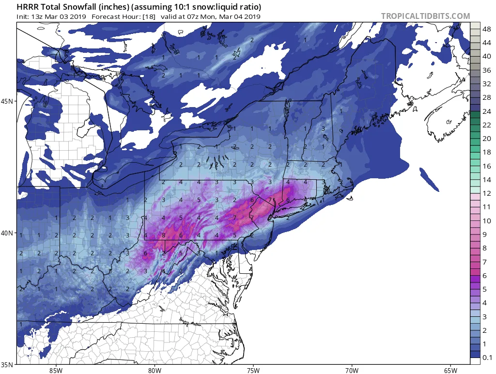
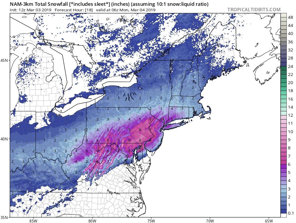
The storm should start somewhere between 5&7pm with light possibly mixed precipitation. The storm will continue as snow with some mixing occurring, especially on the South Shore. The snow will end sometime overnight before sunrise. By the end of the storm you can expect 2-4″ on the South shore and 3-6″ on the North Shore. Someone on the North Shore may see closer to 8″ but I’m not confident in that.
Follow on WhatsApp

All posts

My blend My forecast number: a weighted average of eight weather models, with more weight on the ones that have done best at Farmingdale.

Agreement How close the models are to each other. Close together means more confidence; far apart means the forecast could still change.

Confidence How sure I am about a call, from one dot (could easily change) to three (confident).

Bias-corrected Each model's recent habit, like running 2° too warm, is measured against what Farmingdale recorded and taken out before blending. It starts after two weeks of scored days.

Chance of rain From about 80 versions of the American and European models, each run with small tweaks. 7 in 10 means 7 of every 10 versions bring at least 0.04 in that day.