Wintry Mix Likely Overnight
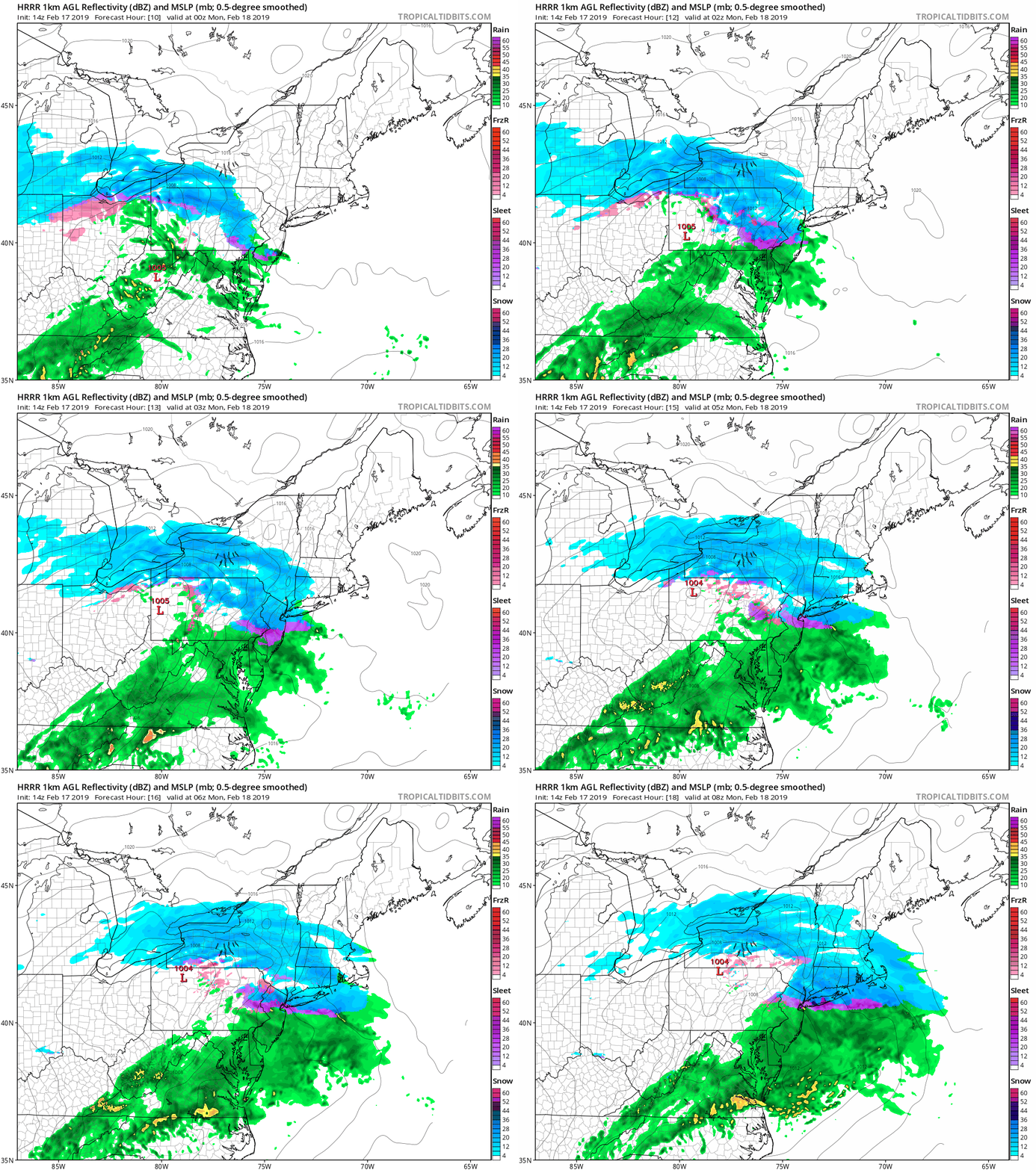
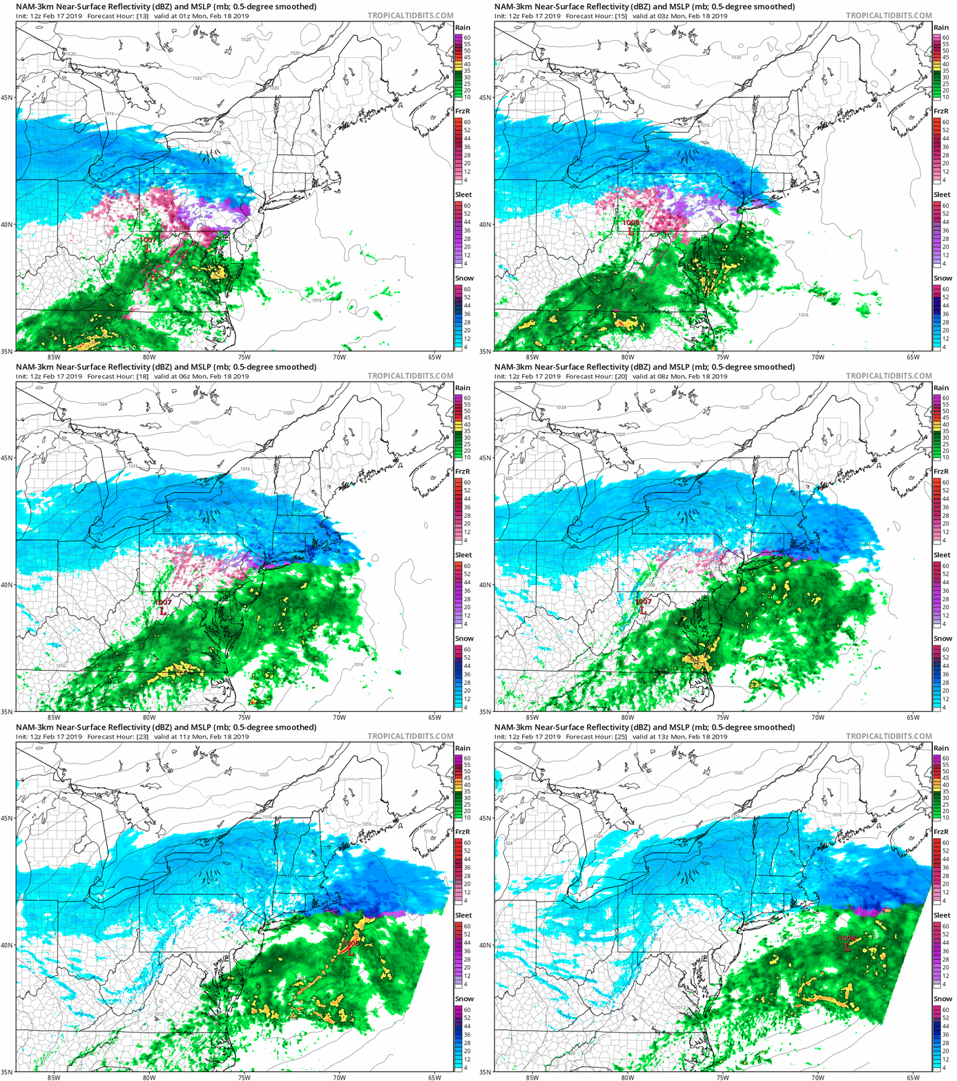
Our region is expecting another round of wintry weather overnight tonight. As with the last round, it will be relatively low impact, and will end with some light rain. Precipitation will begin to overspread the area by about 9PM this evening. Areas to the south of the city, will likely see all rain for the duration of the storm. Areas from NYC’s latitude North will begin as snow, and eventually change over by the morning. Southern Connecticut and the Lower Hudson Valley may stay as snow throughout the whole storm, with some possible mixing towards the end of the storm.
This storm will be one where the further North you are the more likely you are to see accumulating snow, this applies to Long Island as well. The South Shore may see no more than a coating while areas North of the LIE may see around 2 inches. As I stated earlier, overall the storm will be low impact to the area, and precipitation will end by early Monday morning.
More to come later if anything changes.