Blog
-
12/9/17 Storm Update
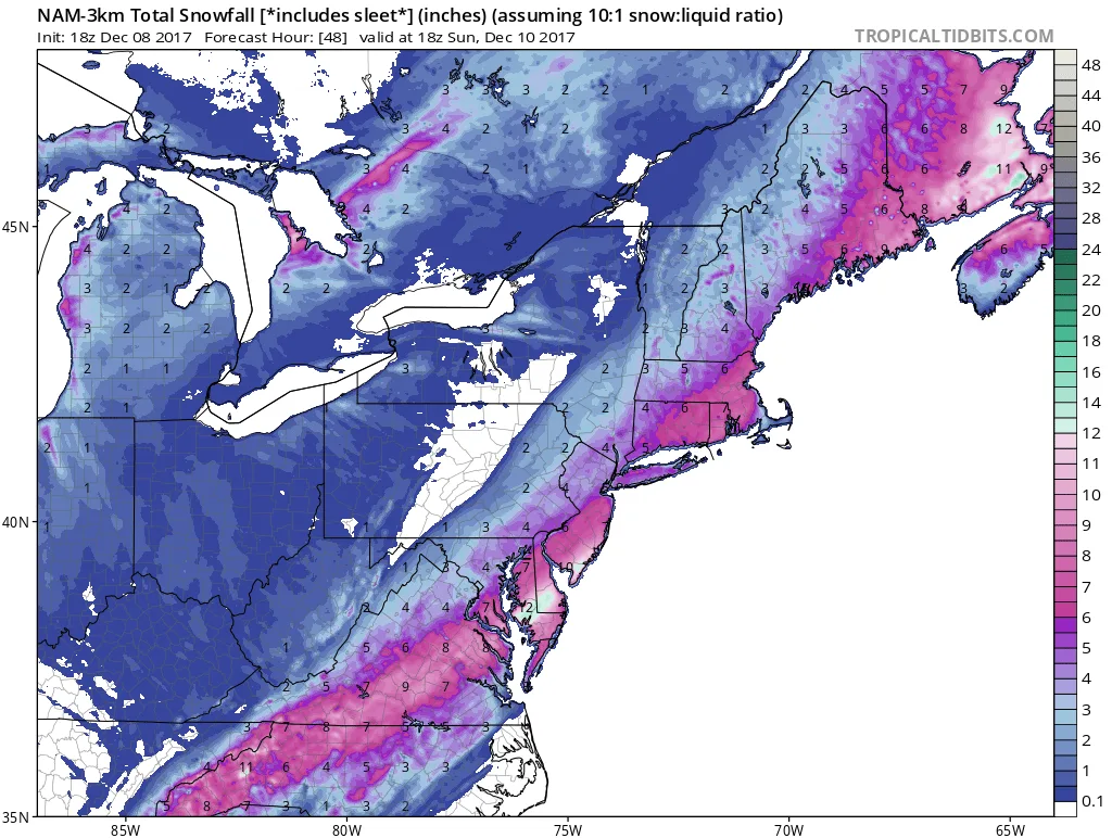
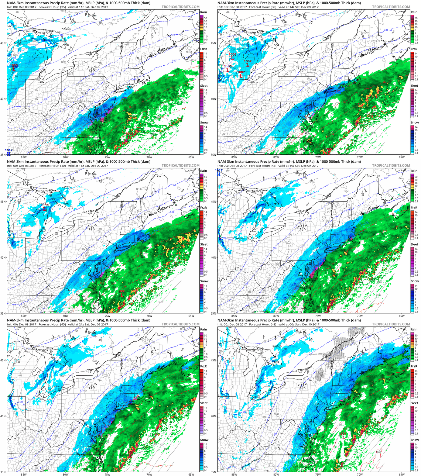
We are still on track for an early winter snowstorm, and as I’m sure many are aware, our region is under either a Winter Weather Advisory or Winter Storm Warning. Snow should begin in the area between 6 and 9 AM. The snow will start light, and probably not stick…
-
Update on December 9th Storm
As of this evening, models are coming into strong agreement that we will see accumulating snowfall region wide starting early Saturday morning. The snow will start light and gradually pick up throughout the day, the snow will end late Saturday night into Sunday morning. There is still some uncertain
-
Update on Saturday storm
I will post a full update tonight, but at this point I can say with some certainty that we will see accumulating snow on Saturday into Sunday. I will provide details on amounts later, but you can expect at least a few inches by Sunday morning. More to come later.
-
Is it Coming? Maybe…
As I alluded to yesterday, we have to keep our eyes out for a potential storm this coming weekend. Right now, there is a wide spread on the models regarding the potential for a storm. However, all are showing a storm or two storms forming Friday night or Saturday. The…
-
And We’re Back!
Don’t look now but Winter may be coming back very soon. The long range models are showing something brewing for the end of this week. Stay tuned for more as the week progresses…
-
Hurricane Irma- Initial Thoughts
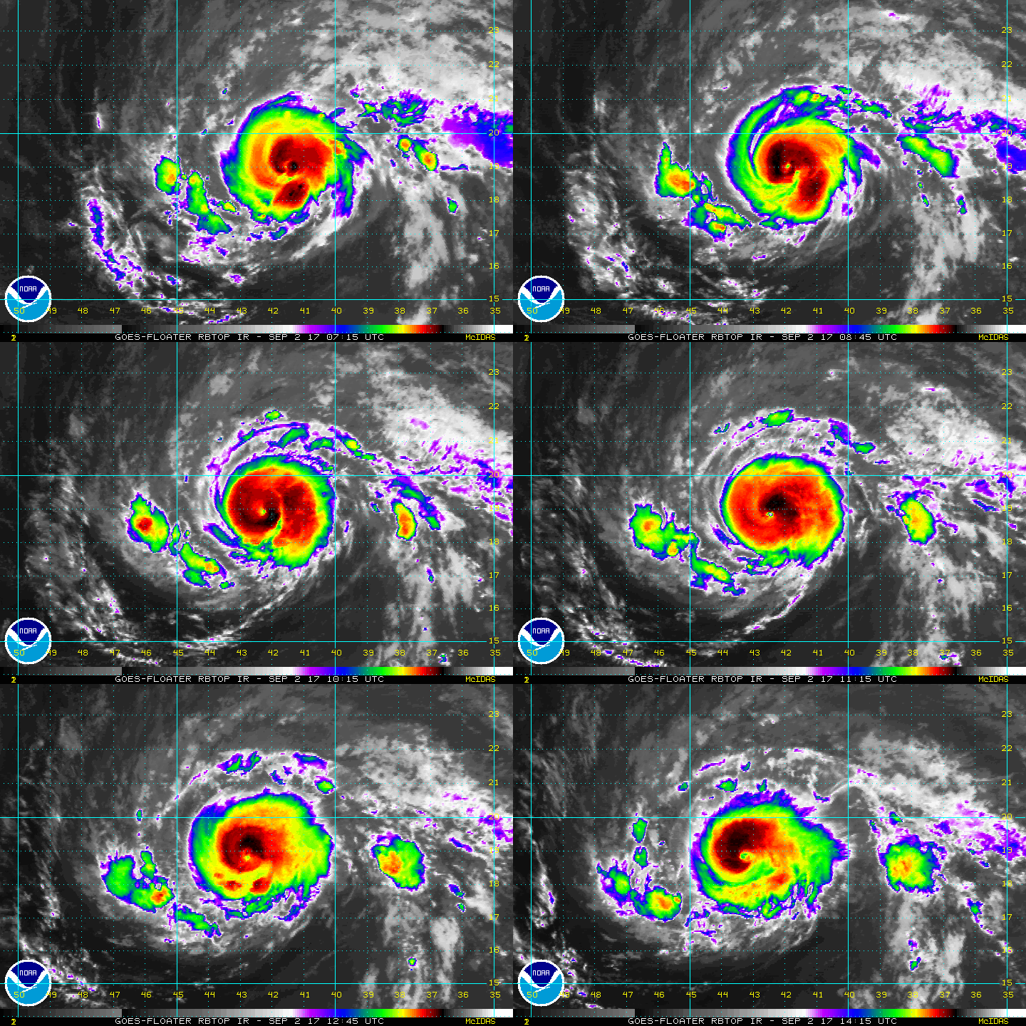
Initial thoughts on Hurricane Irma. More updates to come during the week.
-
Pi Day Storm Update- Busted Forecast
So many of you are probably asking what the heck happened with all the forecasts busting? Well, the answer is mother nature will do what she wants to do. In this case, the low tracked further West than anyone expected. The low was about 25-50 miles further West than was…
-
Pi Day Storm- 3/13/2017- Afternoon Update
This GIF says it all for how I’m feeling right now, and how I bet all weather forecasters are feeling…This is by far the most difficult forecast in a LONG time. As of this afternoon, we’re experiencing model mayhem…Essentially what is going on is that several models have started to…
-
Pi Day Storm- 3/13/2017 Mid-Morning Update
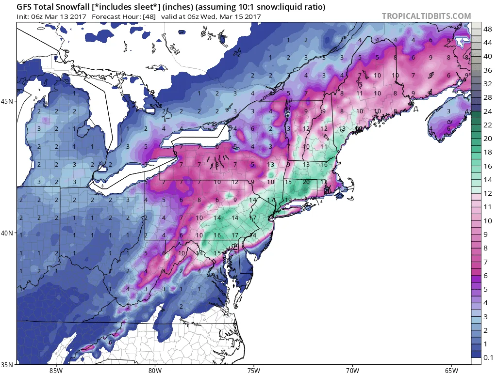
As I alluded to yesterday, this forecast is becoming VERY tricky. We’re at the point where a 25 mile shift East or West will make a significant difference in snowfall totals. At this time frame the margin of error on models can be 50-75 miles under normal circumstances. The key…
-
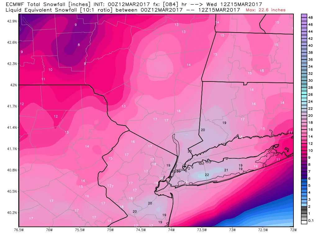
Pi Day Storm- 3/12/17 Mid Day Update
As of this morning, models continue to come into agreement in terms of the track of the Pi Day Storm. We are still a ways off from locking in totals, but it is becoming clear that in general we can expect a 12-18″ snowfall area wide. However, there are a few models…