Blog
-
Storm Chance Wednesday Night
I come to you this afternoon with some bad news: It looks like our luck of no major storms may have run out. As of this afternoon almost all of the major models are predicting a major winter storm to impact our region starting Wednesday evening. If the models end…
-
1/19/2025 Snow Event
After a long hiatus, we’re back with our first winter update. While we’ve already seen some snow this season, tomorrow marks the first widespread accumulating snowfall that will likely require shoveling. As is often the case, the weather models are still not in full agreement on tomorrow’s snowfall.
-
2/13/2024 Storm- Model Mayhem
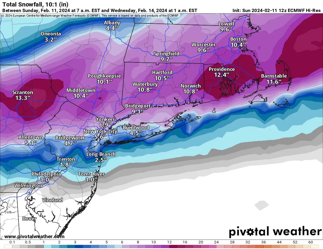
I have been slow to post anything related to the storm coming on Tuesday. The primary reason for this is that I truly have no idea what to expect on Tuesday. As of this afternoon’s model runs, we should expect anywhere from a wet inch or two to 6–10 inches…
-
1/19/2024 Snow Event- Final Call
Tomorrow’s snow event is looking to be very minor. Snow will begin falling lightly tomorrow morning around sunrise and continue into the afternoon and early evening. I am not expecting it to fall heavily at all during the day as there is limited forcing and upper air energy to cause…
-
1/19/24 Snow Event
Believe it or not we’re about to have our second snow event in less than a week! After almost 2 years of no snow, we’re now having back to back events. Like our last event, this one will be relatively minor, but enough to cause some headaches. Snow is expected…
-
1/15/24-1/16/24 Snowfall
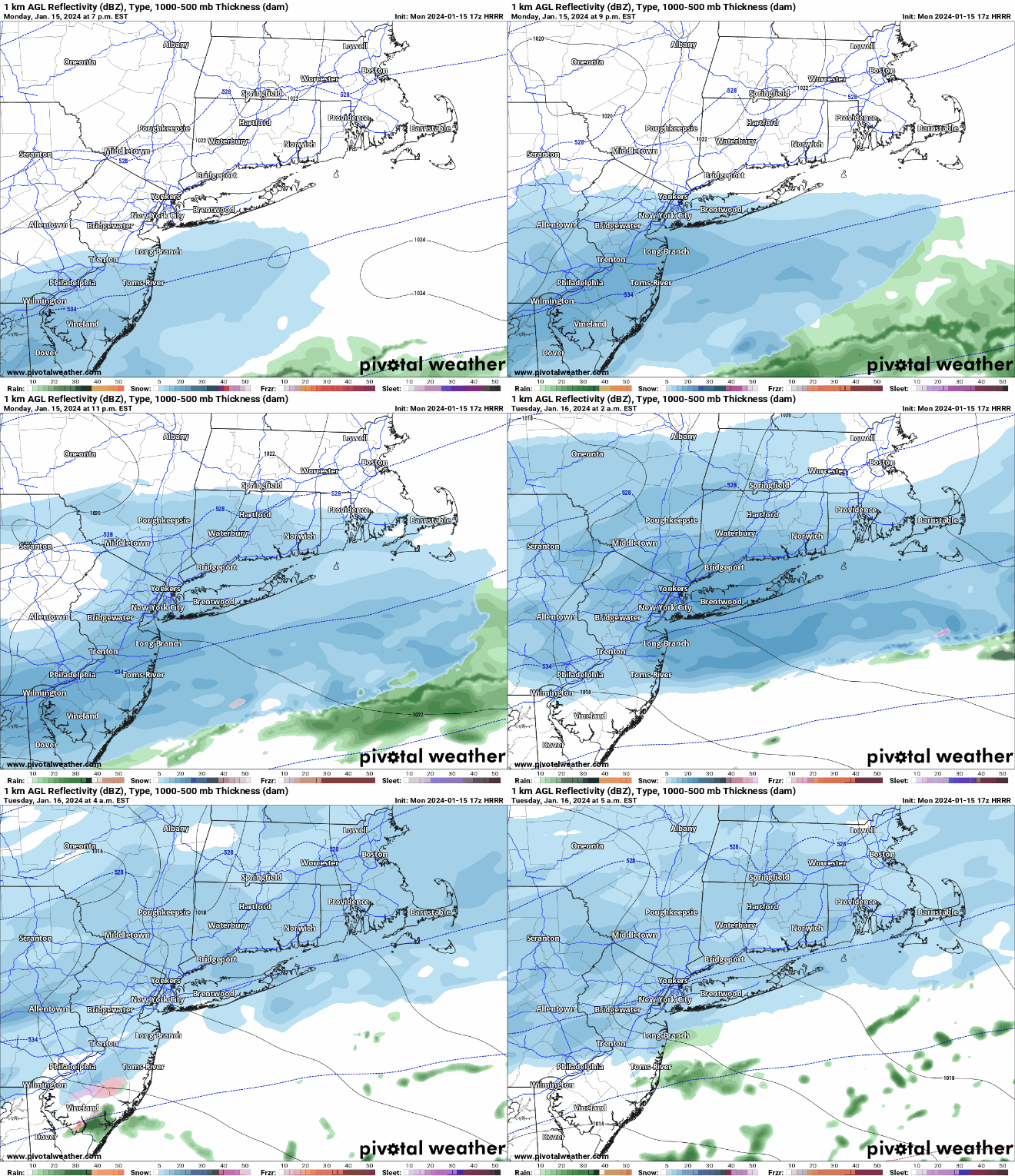
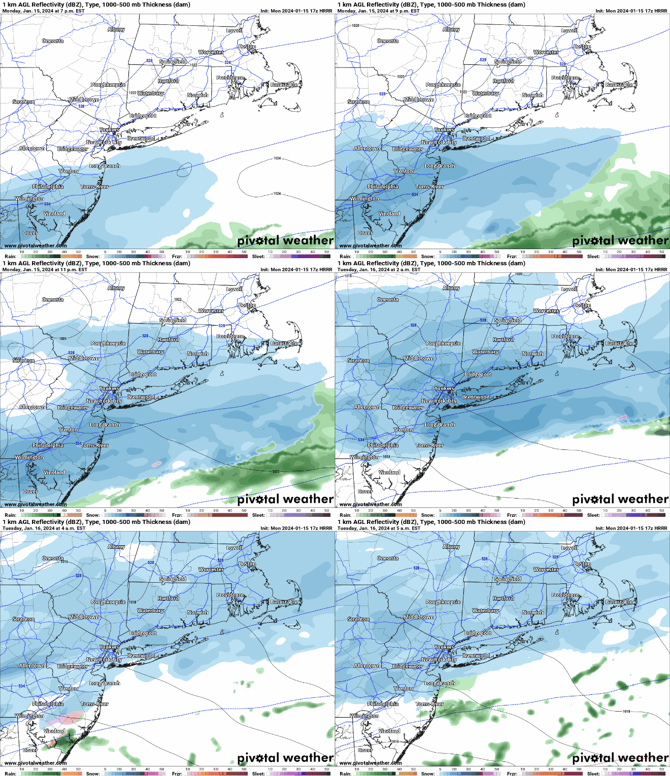
Beginning this evening and overnight, we will see our first measurable snowfall in a LONG time. The event itself will not be a major one, but it will feature the return of winter weather. The snow will begin this evening between 8-10PM and overspread the region. Generally, snowfall will be…
-
1/6/24-1/7/24 Event
I’m sure by now you’ve heard the news hyping up a potential storm for this weekend. As of this afternoon and evening, most models have trended away from a significant snow event for Long Island and the city. The forecast is still subject to change and minor deviations to the…
-
First Snow of the Season?
And we’re back for another winter season! As of this evening, it looks like there is a chance for our region to see the first snow of the season on Sunday evening. The good news is that I don’t think it will accumulate much if at all on Long Island.…
-
1-29-22 Storm
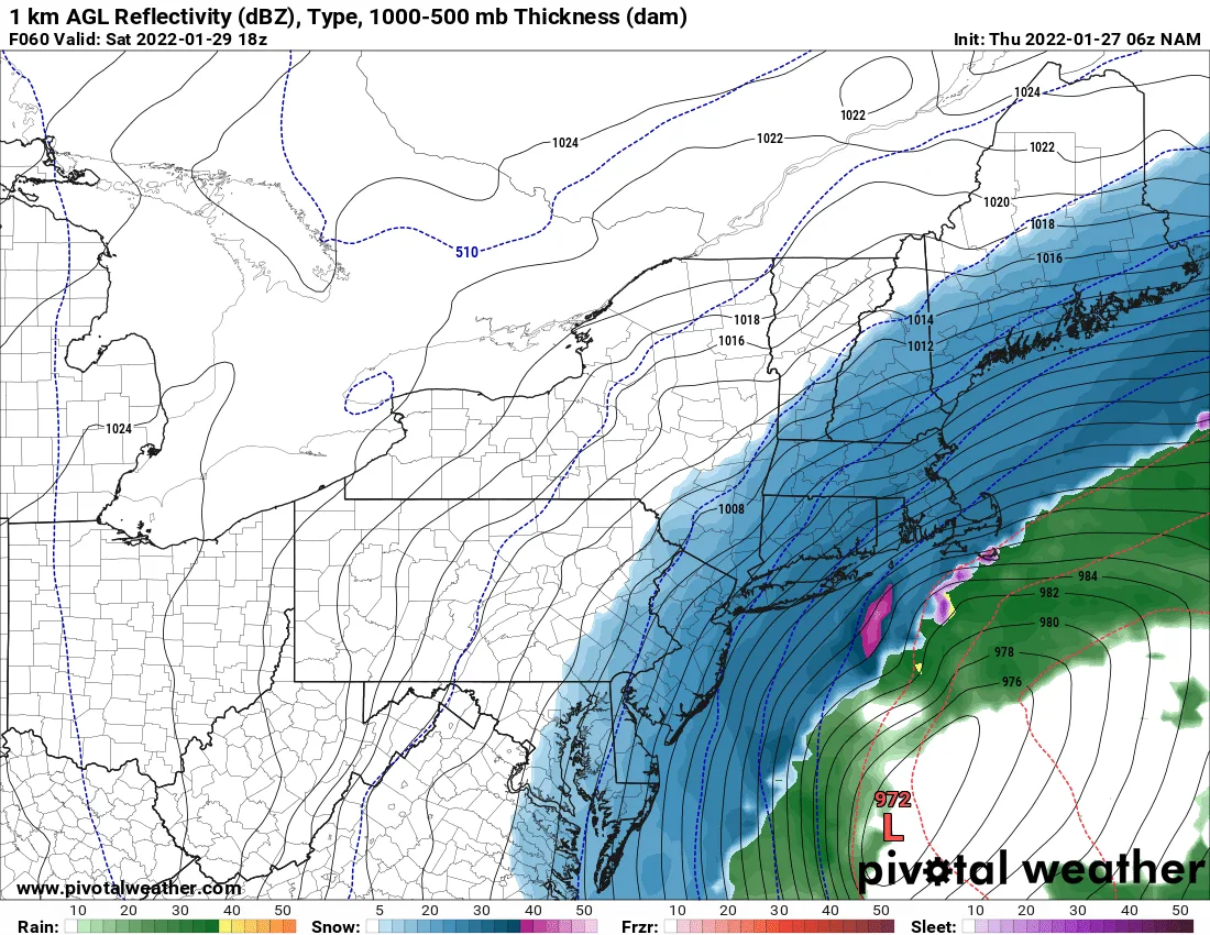
I just posted an update on the Winter Storm that may impact our area starting Friday evening.
-
Super Bowl Storm Update
With the storm on our doorstep I wanted to provide a quick update: Trends over the last 24hrs have been towards less snow for our area. Instead of the storm beginning as snow, we are likely to see some light rain and with a changeover to snow later this morning.…