Blog
-
Superbowl Sunday Storm
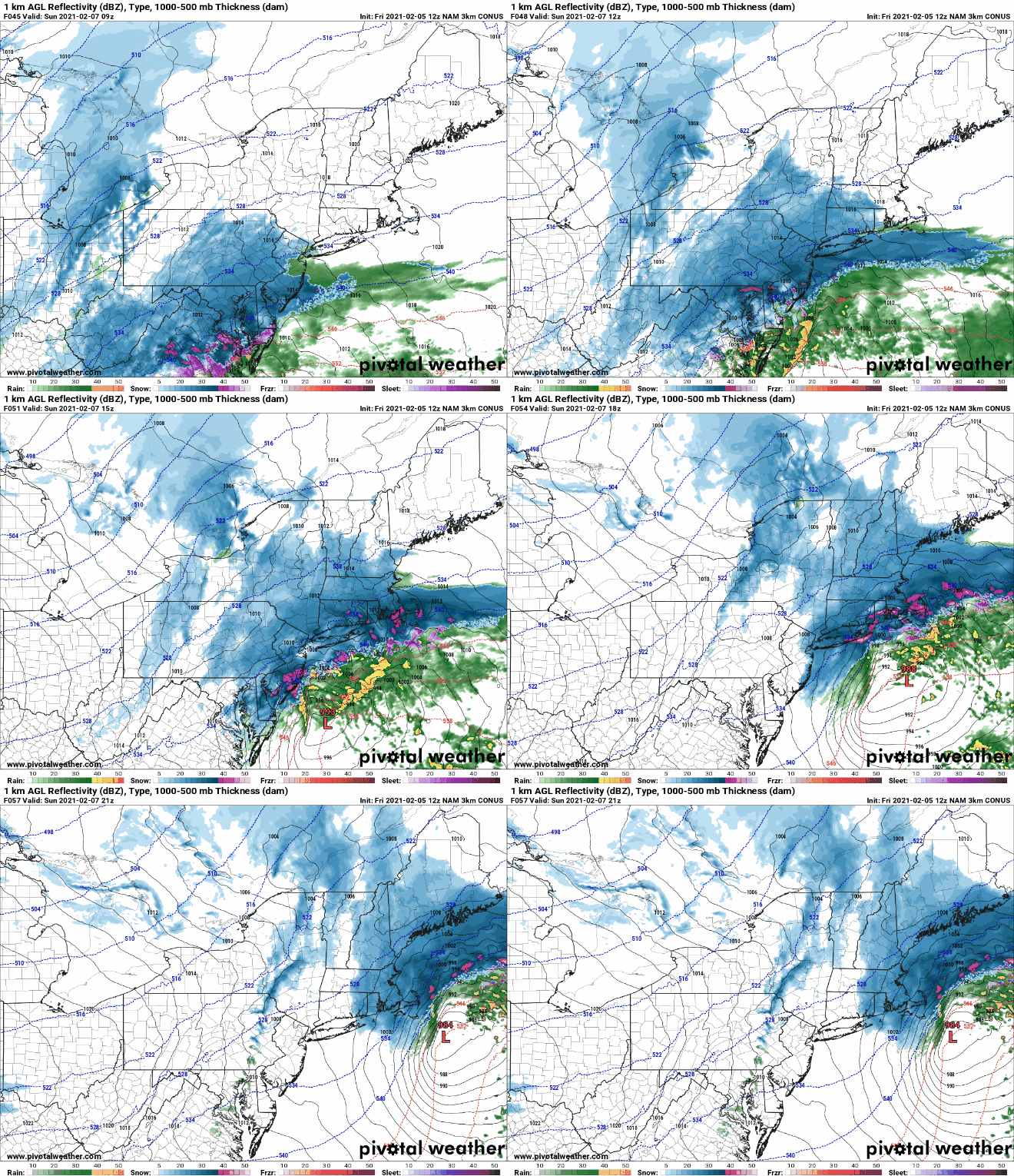
In what has come as a bit of a surprise it looks like our area will be impacted by a snowstorm beginning on early Sunday morning. As recently as yesterday morning the storm was looking to track far off the eastern seaboard. However, with yesterday’s model runs and continuing in…
-
1/31/21 Storm Update
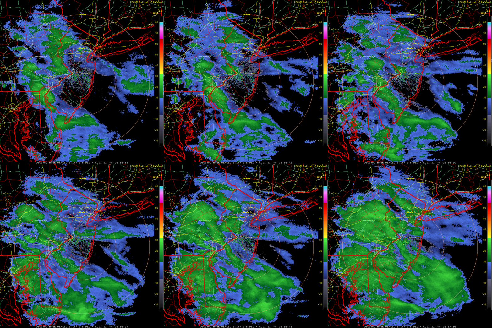
We continue to be on track for a significant storm to impact our region beginning later this afternoon. As I indicated last night, and confirmed by overnight model runs and model runs this morning, expected snowfall has increased. As of this morning, all models have come in to alignment for…
-
1/31 Storm Update
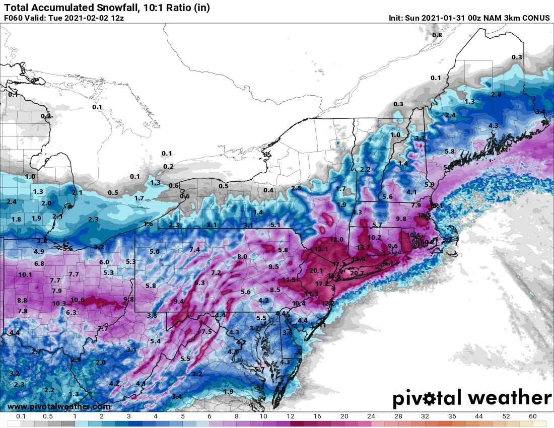
Just a quick update as the models start to roll in for the night: The NAM and RGEM just came in and changed the ballgame for how much snow may be looking at with both showing AT LEAST 15-20” if not more area wide. There are still several other models…
-
1/31/21-2/2/21 Storm
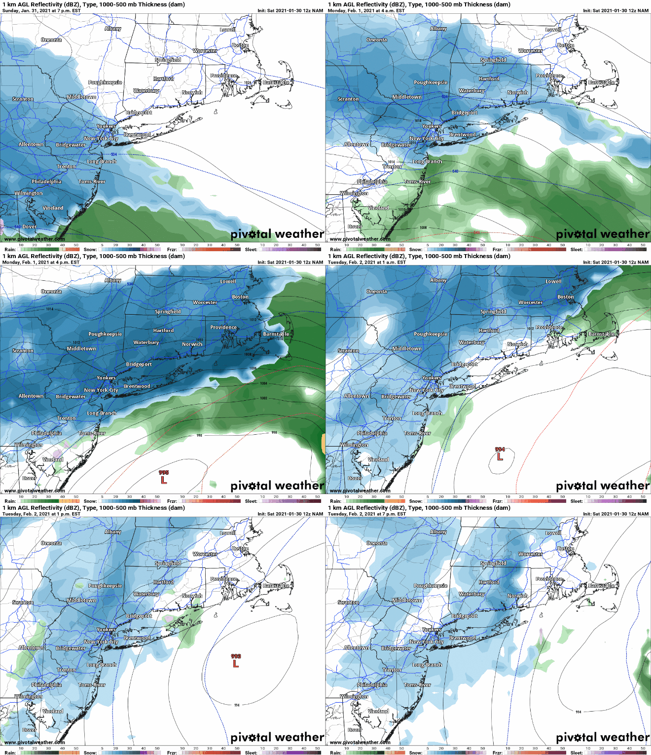
Sorry for the delay in providing updates, I have been actively tracking the storm but life has gotten in the way of posting updates. But do not fear, I will be with you throughout this weekend. (Sorry to my wife and daughter for disappearing to track this weekend.) This storm…
-
Sunday Through Tuesday
More on this later today but there is a storm brewing for Sunday through Tuesday. As of now it’s looking like it may have foot plus potential. Stay tuned!
-
12/16/2020 Storm Update- Forecast Mayhem
Today has been a wild day in storm tracking. We went from the totals exceeding 12-16″ on models for our region this weekend to some models this morning showing only 2-4″ this morning. It all comes down to just how far north the low pressure system tracks tomorrow evening in…
-
12/16/2020- Quick Morning Update
I wanted to put out a quick update this morning since there has been a slight shift in modeling. Models last night and this morning are indicating that the low will track slightly further north than originally projected. This will lead to some potential mixing of snow and sleet on…
-
12/16/20 Snowstorm Update- It’s Definitely Coming
As of this evening our region is under a Winter Storm Watch, and we are on track for our area to experience our first winter storm of the season beginning on Wednesday afternoon and lasting overnight until early Thursday morning. Since my post yesterday, the models have continued to come in…
-
12/16/2020 Snowstorm Update- First Guess Snowfall Totals
It continues to look likely that we will be impacted by a significant snowstorm Wednesday evening through Thursday morning. The weather models while divergent in totals, generally agree that a significant storm will impact our area. The only question that exists as of this evening is in regards to t
-
12/16/2020 Potential Snowstorm
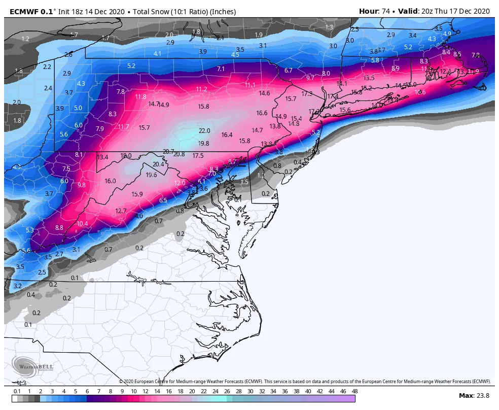
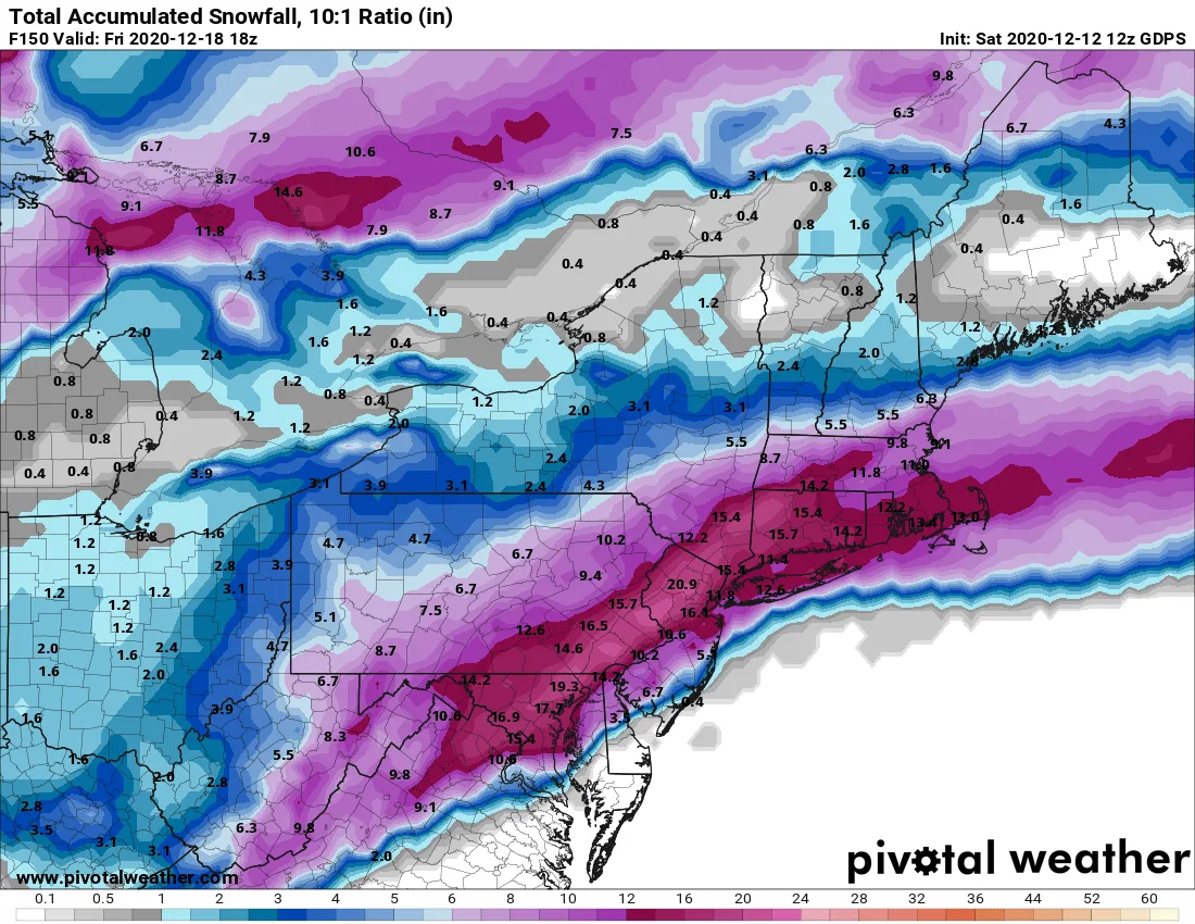
As of this afternoon, the models continue to be in agreement in regards to a major snowstorm impacting our region beginning on Wednesday afternoon continuing overnight into Thursday. Currently all of the major models are projecting that our region will see 12″+ of snow. While, I am not yet ready…