Blog
-
3/16/2016- The Return of Winter?
I hope that everyone has been enjoying the beautiful weather the last week. I know I’ve been slacking on the updates, but we’ve been in such a nice weather pattern I didn’t think it was necessary. However, I now return with some potentially bad news. The weather pattern appears to be shifting, and i
-
3/7/2016- Spring is Coming
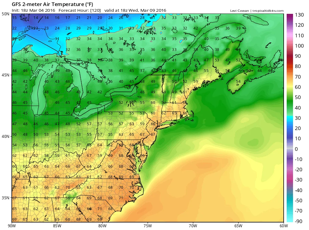
As I have mentioned over the last few days, this week looks to be Spring like and warm (think late April-Early May type warmth). Models have held on to this idea and show this week being unseasonably warm. Through Friday temps look to reach the low to mid 60’s. It’s not…
-
3/4/2016- Weekend Update
Summary: Saturday: Temperatures in the upper 30’s to around 40. Skies will be partly cloudy, with increasing clouds in the afternoon and evening. Sunday: Temperatures will start in the upper 20’s to low 30’s, and reach around 40 by the afternoon. There is a slight chance of light non-accumulating sn
-
3/3/2016- Winter’s Quiet Exit
Here is a quick update on tomorrow’s “event”: Light snow will enter the area early Friday morning and last until late morning. Total accumulations will be a coating to an inch. Temperatures in the morning will start in the mid-upper 20’s and rise steadily throughout the day to the mid 30’s…
-
3/2/2016 Update- Winter’s Last Gasp
Summary: Thursday: Highs in lower to mid 30’s. Clouds building in later in the day. Friday: Light snow in the morning, clearing out by the afternoon. Total accumulation coating-2 inches. Highs in the mid 30’s. Saturday: Highs in upper 30’s to low 40’s. Skies should be clear with light winds. Sunday:
-
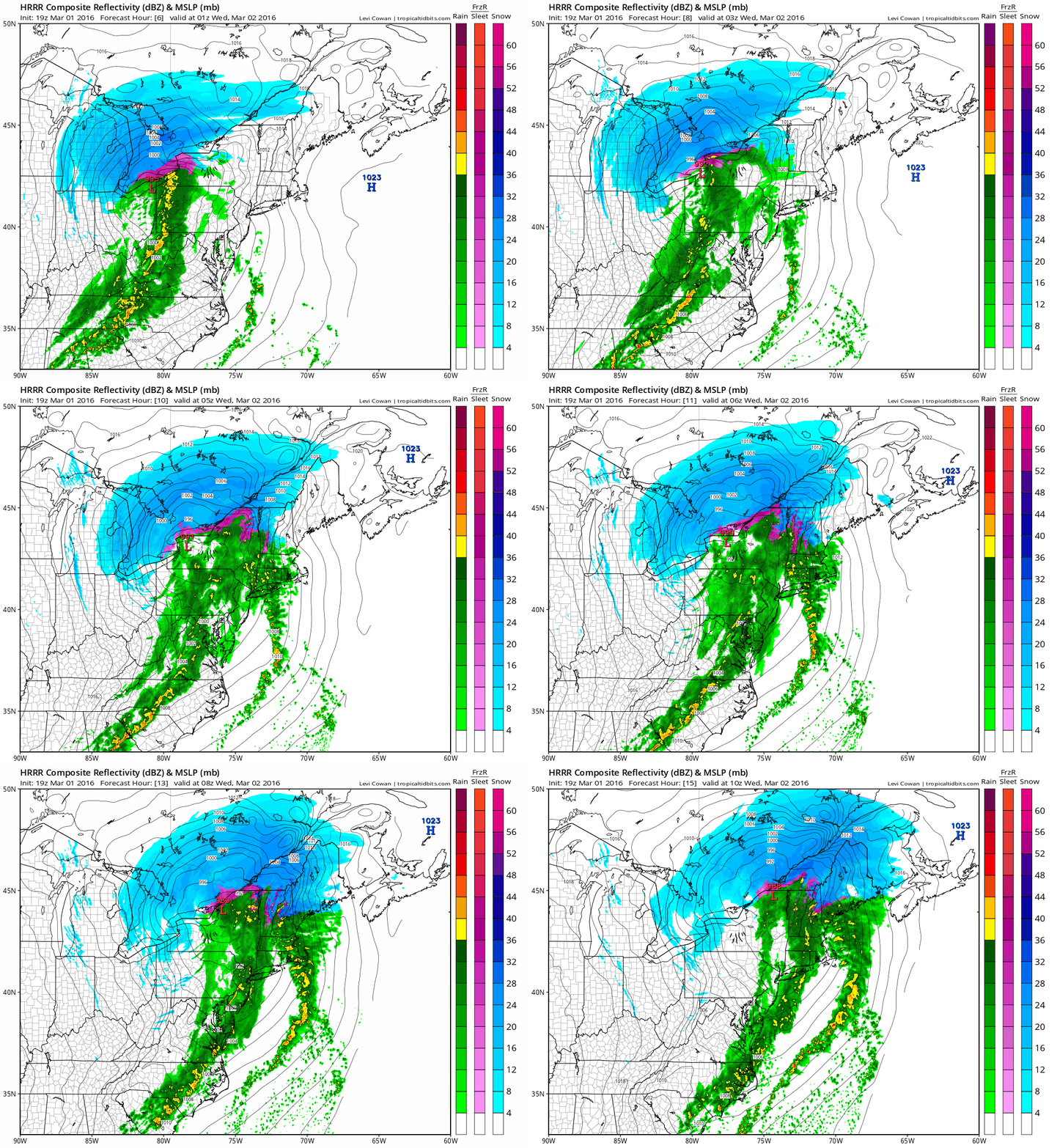
3/1/2016 Update
Some of you may be wondering why I didn’t provide an update the last two days as I promised. Well the answer is that I was waiting for more model runs to come in before sharing with you information on later this week. Before we get to that, let me…
-
Sunday Weather Update
A quick update on the weather for today and tomorrow: A beautiful late Winter Sunday is expected today. Temperatures will rise into the lower and mid 50’s on Long Island. In NYC temperatures may approach 60. Minimal to no clouds are expected as well. Monday is expected to be similar…
-
2/25/2016 Update
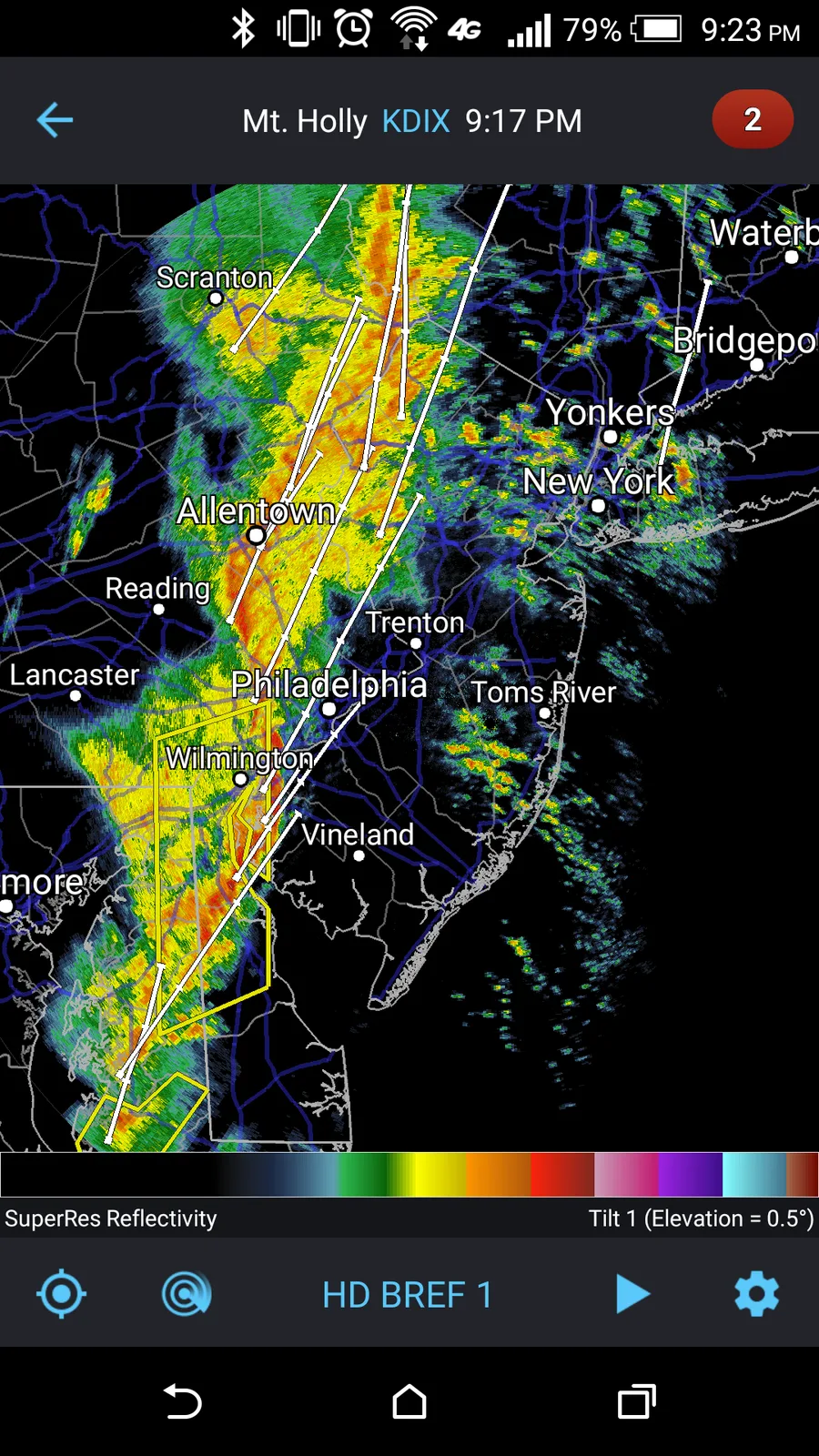
Last night certainly was eventful in our region. Many stations in our area reported wind gusts of 50-60 MPH leading to multiple downed trees, power lines, and damage to houses. The line of storms that came through were the strongest that our area has seen in several years. Looking forward,…
-
Severe Storms Possible Tonight
There is increasing likelihood of strong storms coming through our area this evening. Currently our region is under a thunderstorm watch. Many areas to our West are under thunderstorm and tornado warnings. Winds in some of the cells are exceeding 70mph.
-
2/22/2016 Update
Summary: Tuesday: Clear in the morning, with conditions deteriorating during the day. Rain expected in the afternoon and evening, there is a chance that at the onset we could see some light snow before a quick changeover to rain. No accumulations are expected. Temperatures in the upper 30’s/low 40’s