Blog
-
About this blog (2016)
I am a weather hobbyist who has enjoyed following weather since a young boy. Way back when, I even once asked for a doppler radar for a birthday present. Unfortunately that turned out to be impossible and illegal (Thanks Mom for actually going to News 12 and asking). I’ve continued… Continue reading
-
Sunday Afternoon Update
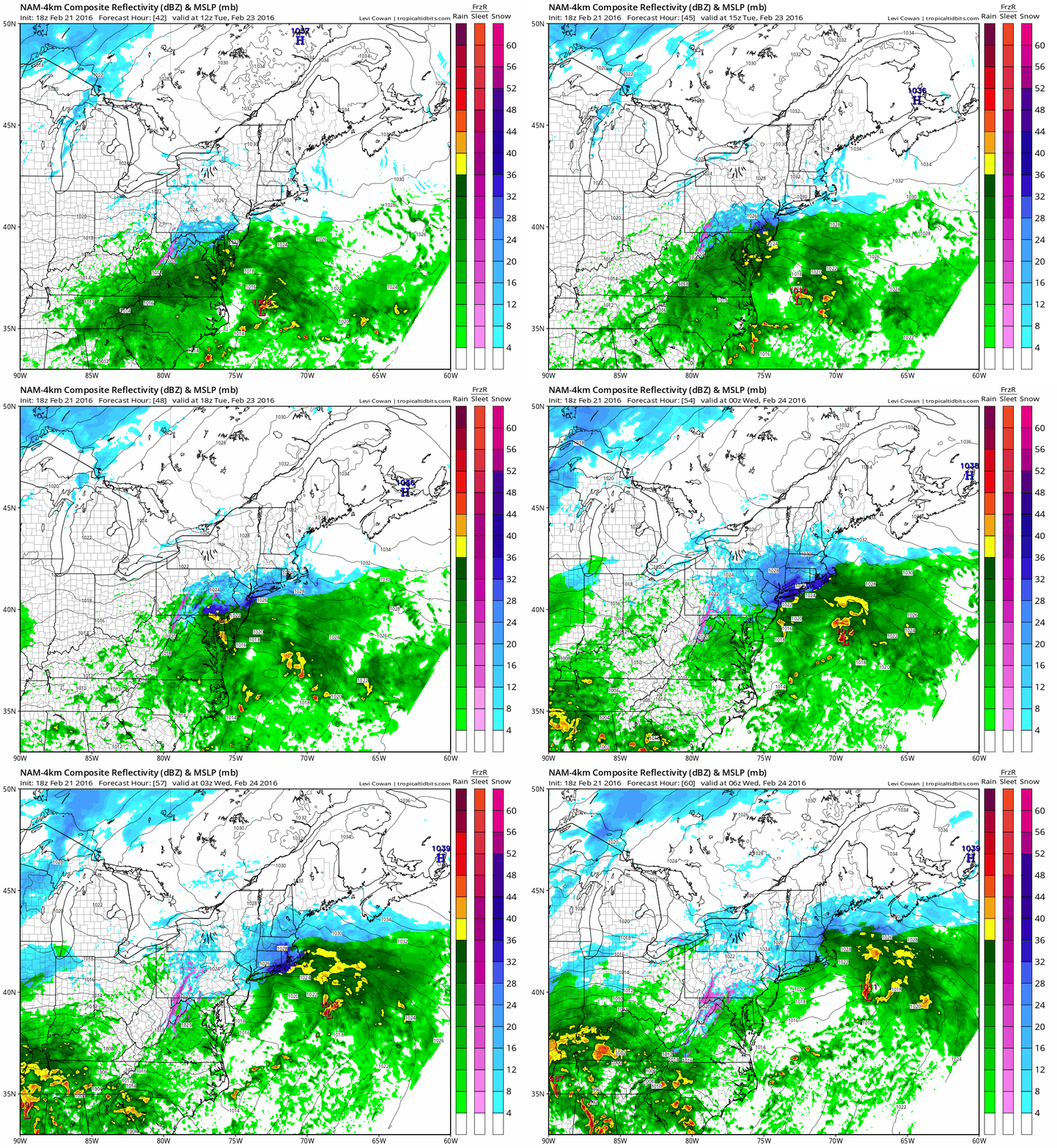
Summary: Monday: Low 40’s no expected precipitation Tuesday: Cold, chance of snow or rain in the afternoon into the evening. Changing to rain overnight. Wednesday: It gonna rain Thursday: Rain in the morning, clearing out for the afternoon. Will be warmest in the morning, temperature is expected to
-
Afternoon Update
Here’s a quick afternoon update: Models have trended towards all rain for both storms. The Nam is now showing the Monday event as being warmer and the GFS has it South of the region. For the storm in the middle of next week, it’s looking like a rainstorm with no…
-
2/19/2016 Morning Update
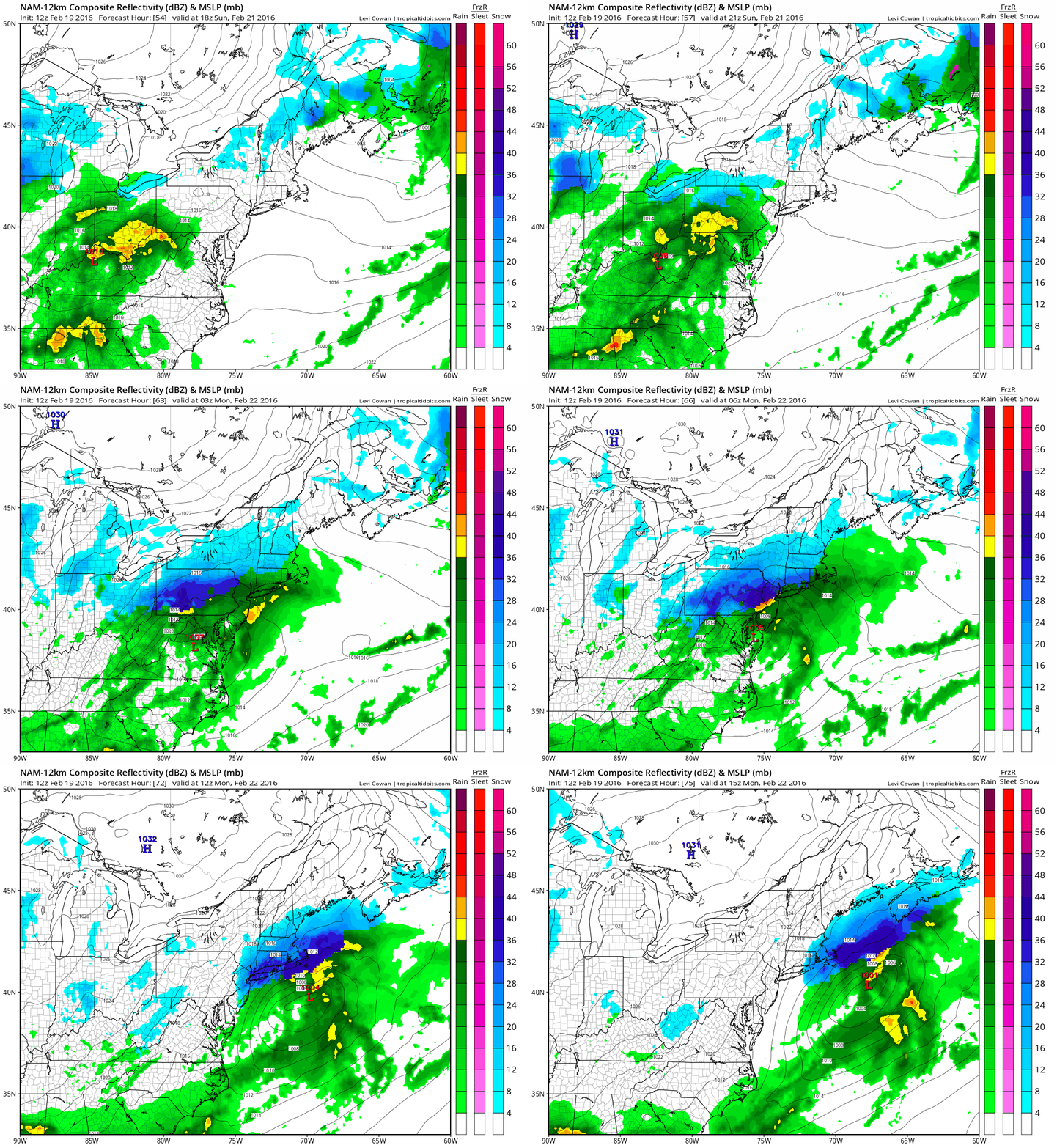
As of this morning, the storm system set to come through the area on Sunday into Monday is beginning to look more interesting. While we are far from model consensus, some of the short range models are beginning to show more snow coming into the area. As of now it…
-
2/17/2016 Update
Looking at the upcoming modeling it looks like the next few days will be relatively calm. There is a chance of some light snow flurries Friday night into early Saturday morning. Based on current modeling, this will be no more than mood flakes Moving forward, the weekend looks relatively dry…
-
2/16/2016 Weather Update
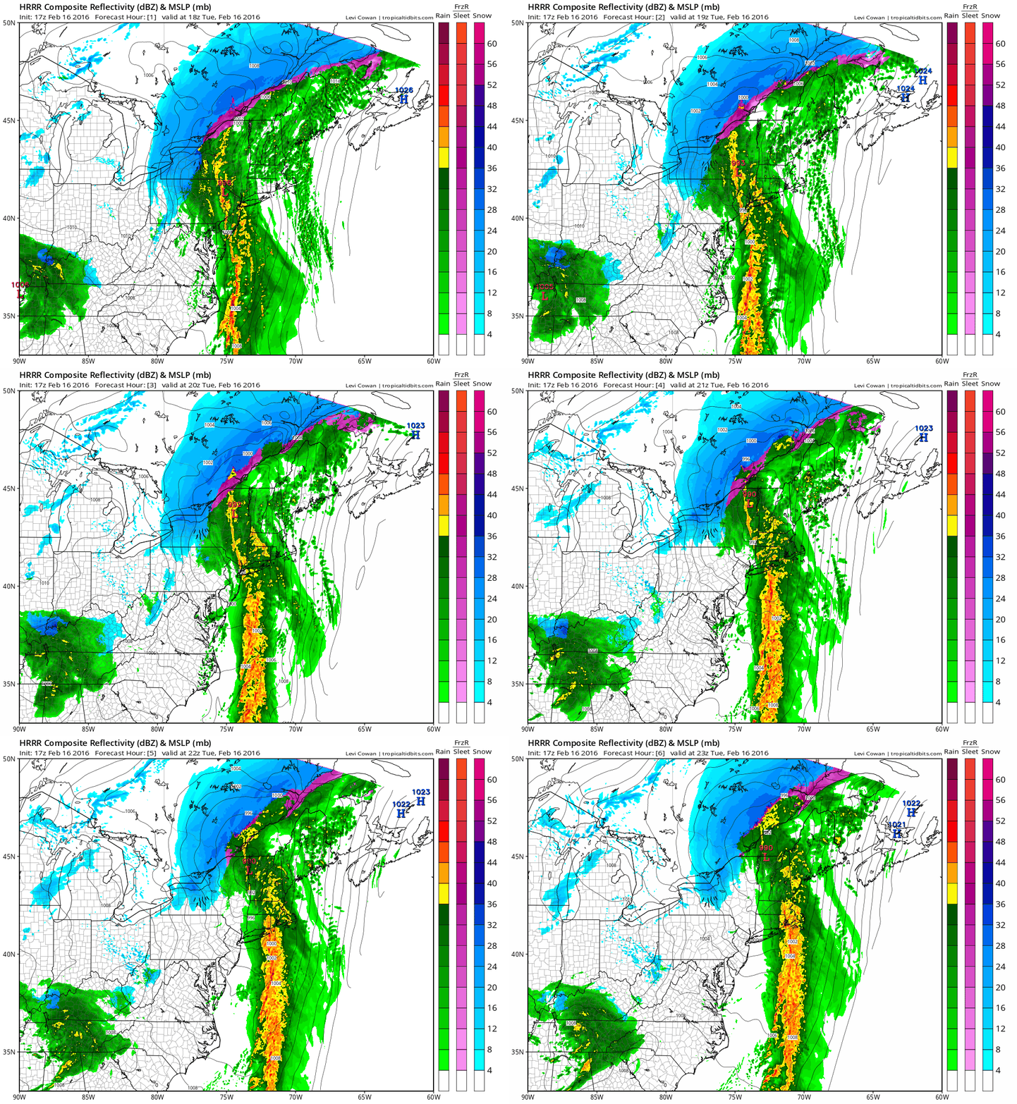
We’re in store for an interesting week of weather. Temperatures generally will vary from the 50’s to 30’s over the next several days.There is a chance of some light snow Wednesday morning as well, this is not likely to accumulate at all. On the Horizon we have a storm threat… Continue reading