12/11/19 Rain to Snow Event
Sorry for the delay in getting this update out to you, I have been out of town for work and traveling the last few days.
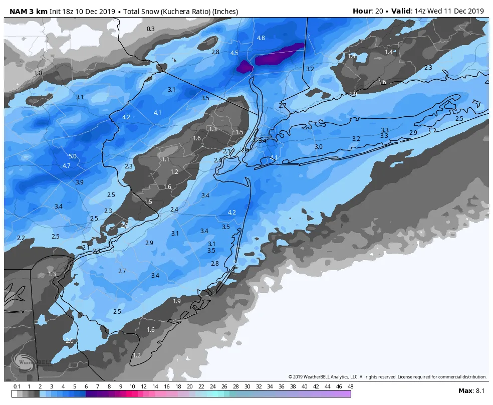
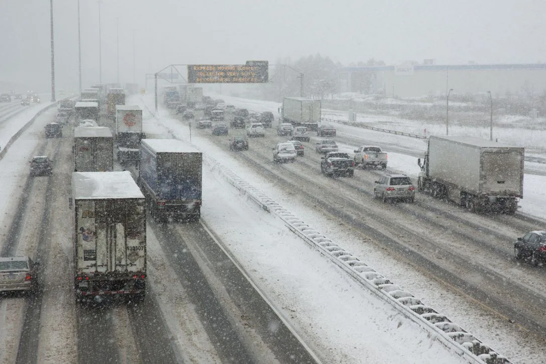
With that said, we’re in-store for another rainy/snowy morning commute tomorrow. Based on current model guidance, the rain that we’re experiencing this afternoon and into this evening will transition to snow sometime in the early morning hours before sunrise tomorrow. This will lead to a slippery and snowy commute in the morning. The snow will end from West to East by the late morning hours. By the time it is done you can expect anywhere from a coating to three inches of snow region-wide.
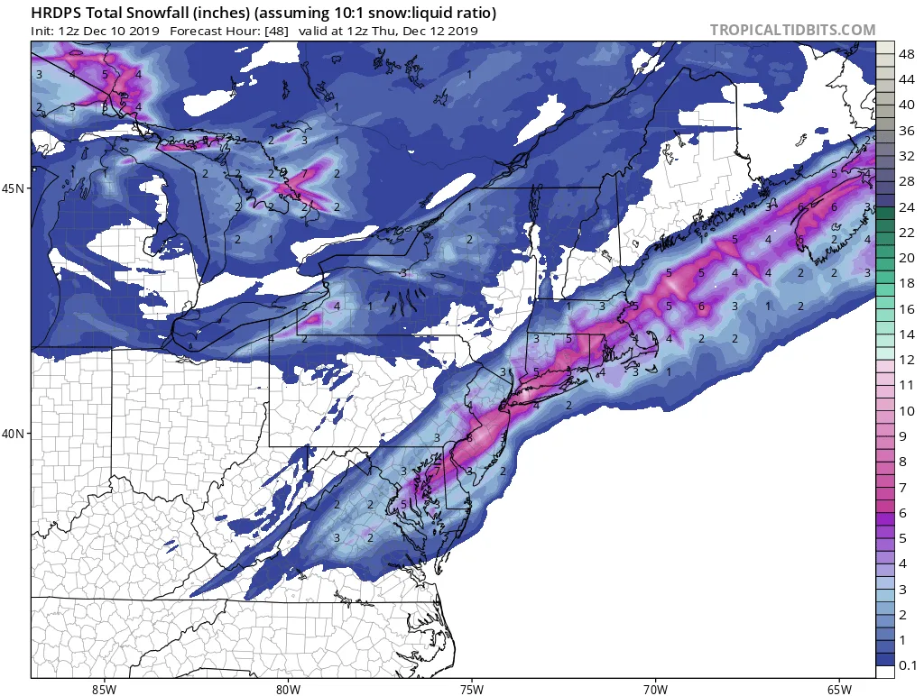
I’d be remiss in my sharing of information if I did not mention that the latest run of the HRDPS gives us almost 6 inches throughout the area, but it is an outlier at this time. Most other model guidance is falling in the 1-3/2-4 inch range. I’m leaning towards the middle/low-end of that range simply because of the preceding rain and warmer temperatures which will cause the snow to have some difficulty accumulating early on, especially on paved surfaces.