Hurricane Isaias- 8/1/20 Morning Update
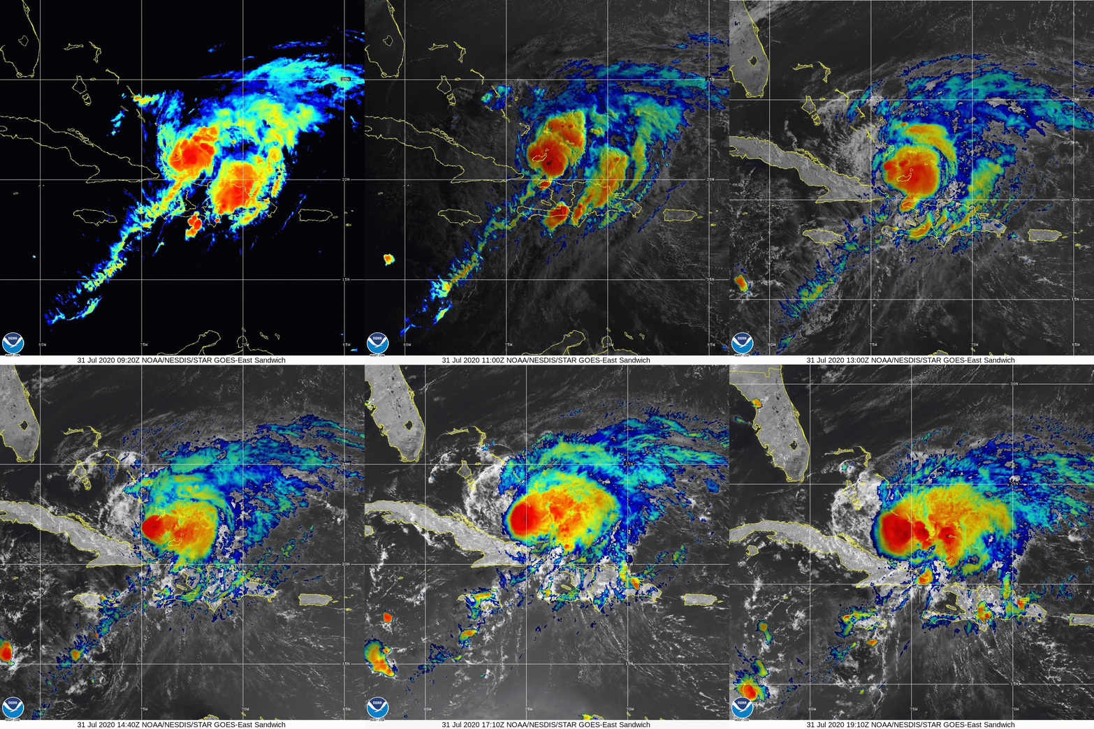
As of this morning, Hurricane Isaias is moving northwestward through the Bahamas. Isaias’ satellite appearance is somewhat disorganized and it has remained level in-terms of strength. Throughout this morning and this afternoon little strengthening is expected as Isaias will continue to struggle with dry air and wind-shear. Isaias will approach the coast of Florida late tonight through early Monday morning and begin to weaken. From there it will turn North and head up along the coast. At this point in time, I am still not confident in a specific forecast, though it does look likely that we will at minimum see some rain connected with the remnants of Isaias.
For now it looks like the impacts to our region will be minimal outside of the potential for moderate to heavy rains and minor winds. We should all keep a close eye on Isaias as the forecast with storms like this are always difficult to nail down in the long range. More to come later today as needed.
Loop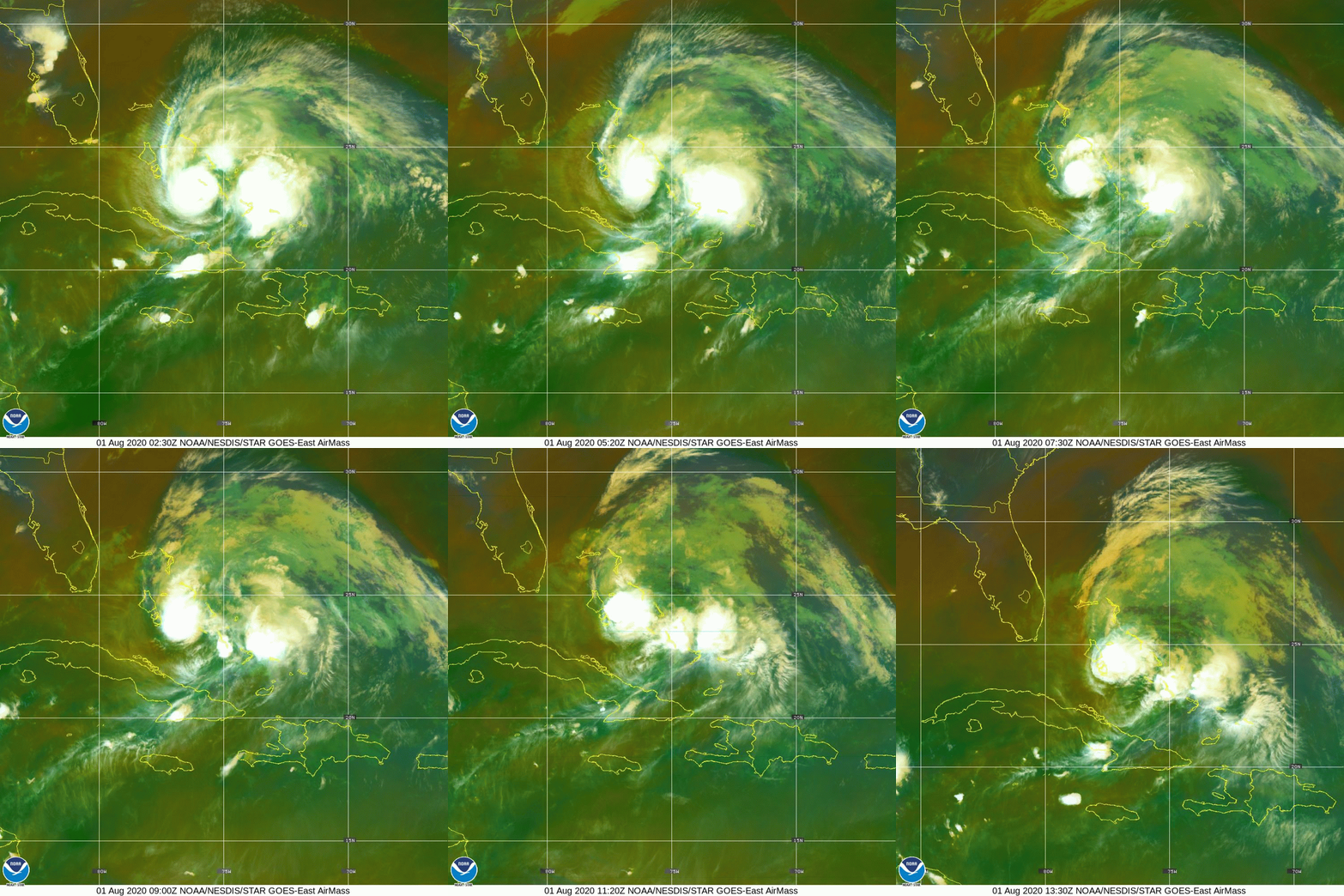 Loop
2 images. Tap one to enlarge it and read its caption.